Tuesday 25 March 2008

Mud rain, 989hPa and Cumulus! (photos)

We had an interesting week, here in Thessaloniki, but the rainfalls were once again so weak, that the precipitation hardly overtook (?) 1mm....

Am interesting phenomenon happened on Sunday morning. It was drizzling during the morning and when it stopped everything was covered with a thin layer of mud. That day a jetstream transferred dust and sand from Northern Africa through the highest attitudes of atmosphere to Greece. At the same time, I noticed a weird cloud over Greece, which temperature was really low and its form and shape was very strange!

Here is a morning satellite image of this strange cloud.
23-3-08_μεταφορά σκόνης
From http://www.sat24.com/

And this image shows the temperature of the cloud. As you see the cloud's temperature is extremely low and this means that it was really high in the atmosphere!
EURO_108 
From http://www.meteoliguria.it/MSG6H/EURO_108.jpg

Next day, while everything was dirty after the mud rain, a new record was set. At ~19:30 in Thessaloniki the atmospheric pressure was 988,7 hPa and the last time the pressure was so low was in 1968 at 989,6 hPa. Such low pressures are seldom in Greece, but in Northern Europe, during storms they are mostly normal.
However, the low pressure didn't mean storm at all! The weather was sunny and warm till a cold front was getting closer from West. It began to be windy and I noticed at the satellite some thunderstorms following. But...the cold front quickly weakened and it ended with some drizzle...again...

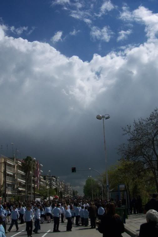
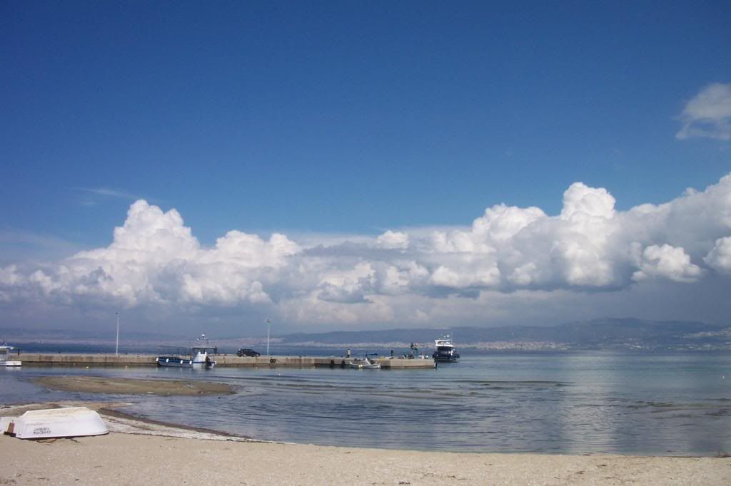
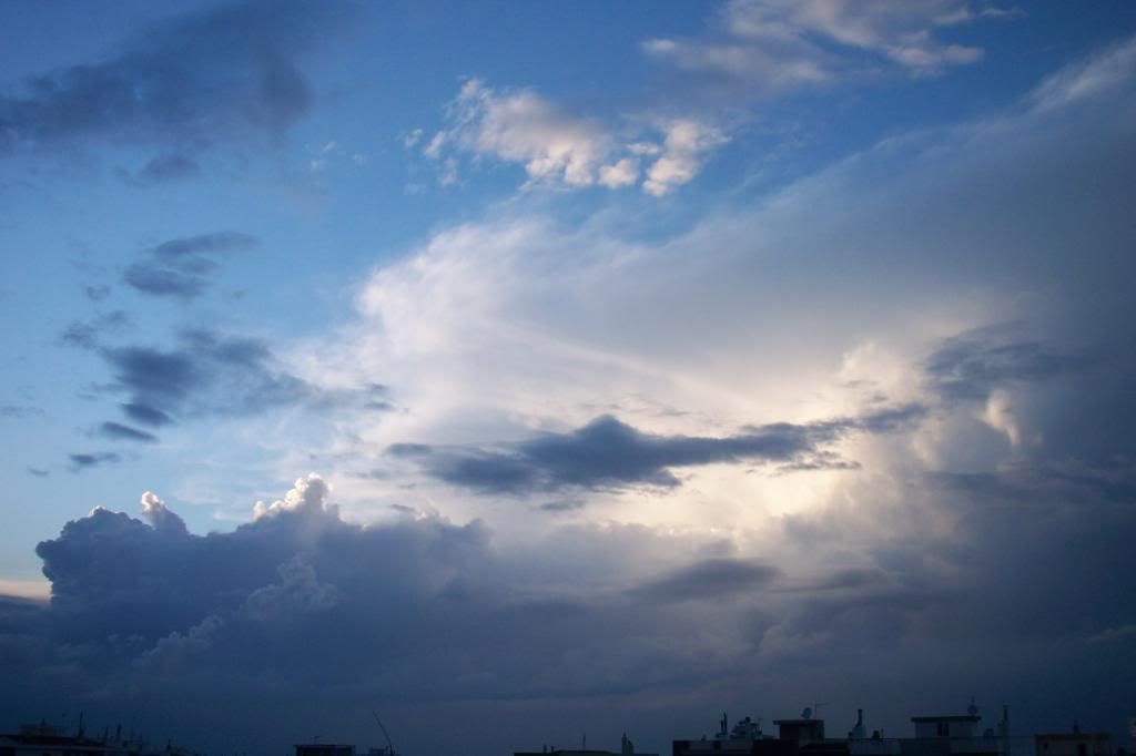
Next day, 25th March was the Greek national day and I had to paticipate in the local parade with my school. The day was sunny and we were waiting till the parade would start. Fortunately, we were next to the sea and I could watch every cloud!
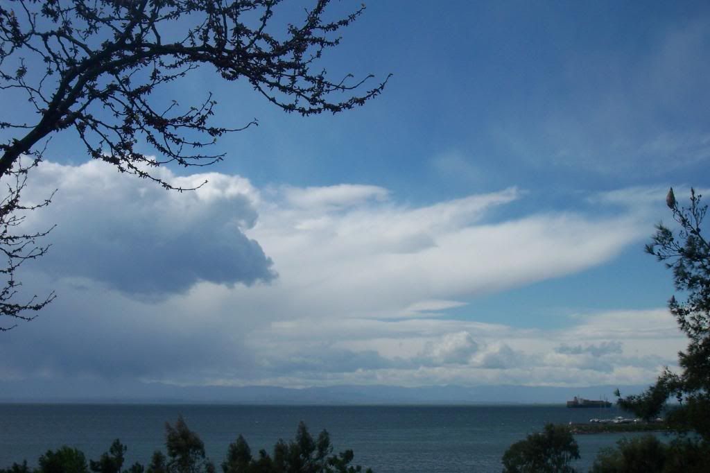
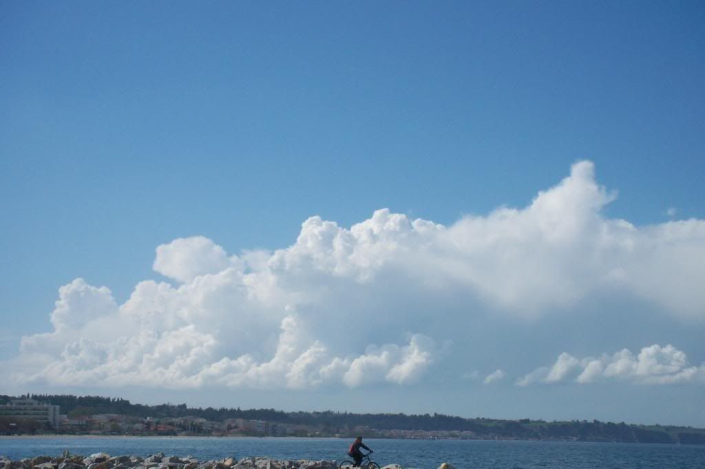
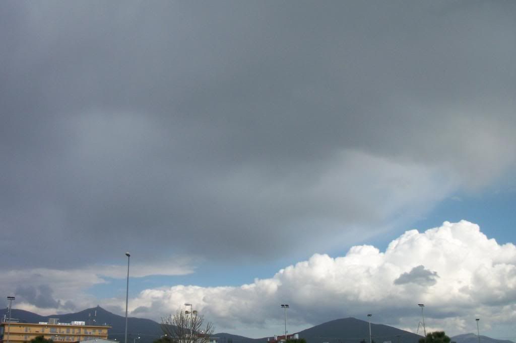
The atmosphere was clean and mt Olympus was clearly seen with clouds covering the tops.


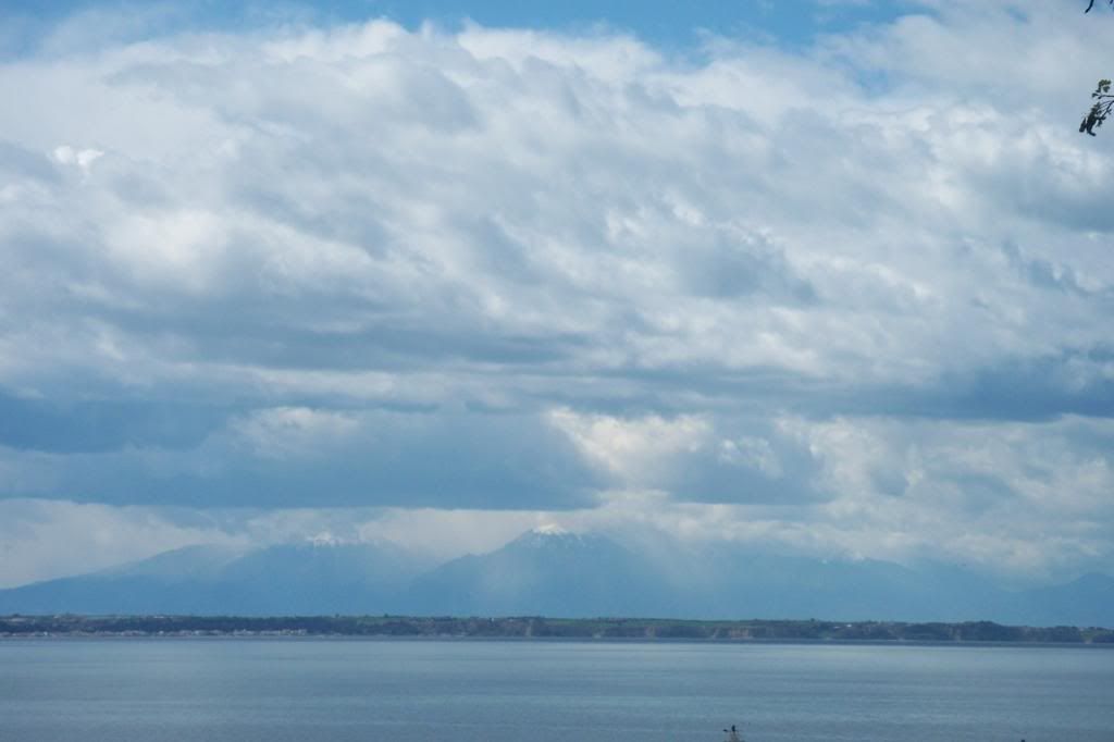
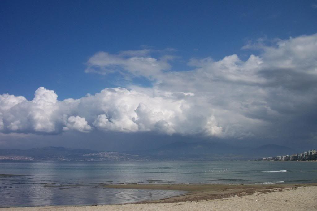
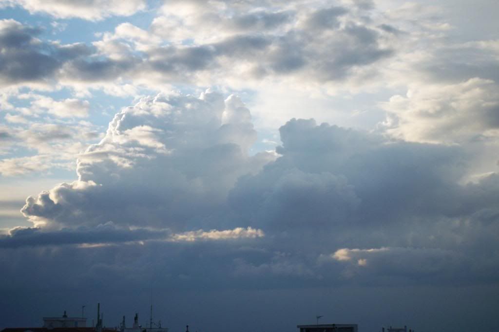
Some minutes later the clouds grew thicker and got darker.


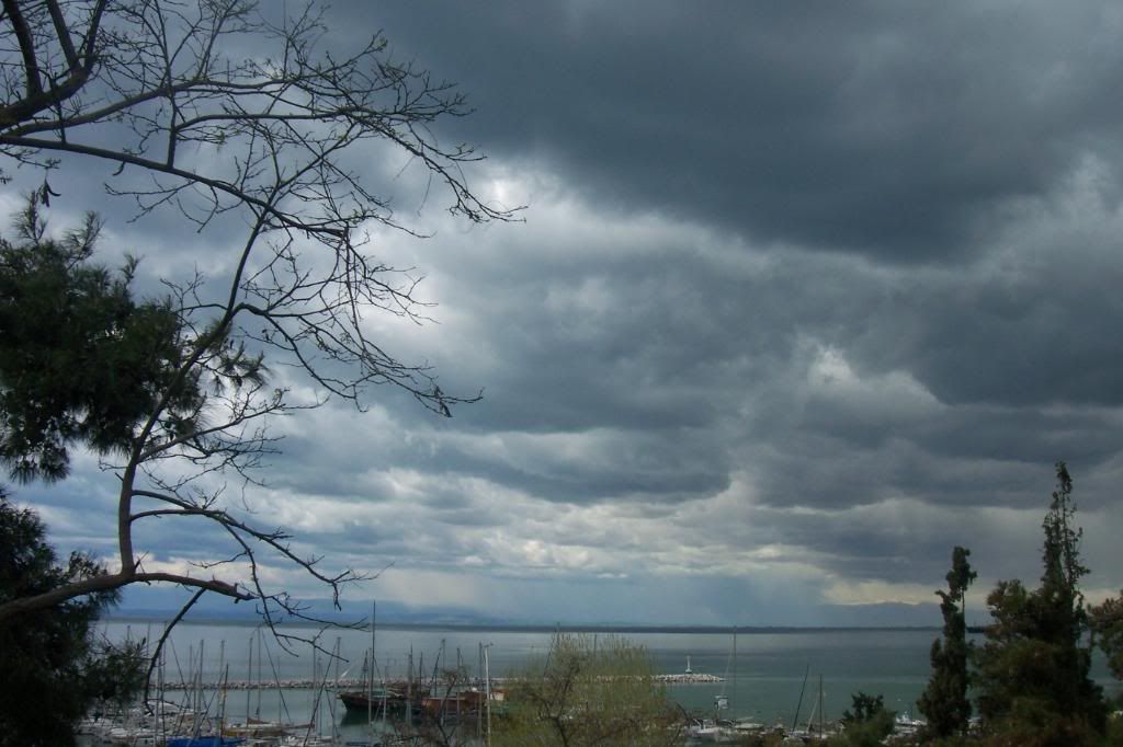
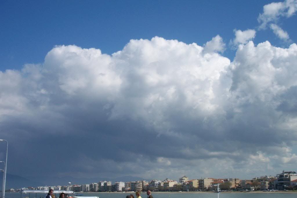
Some "rain curtains" appeared around the mountains.


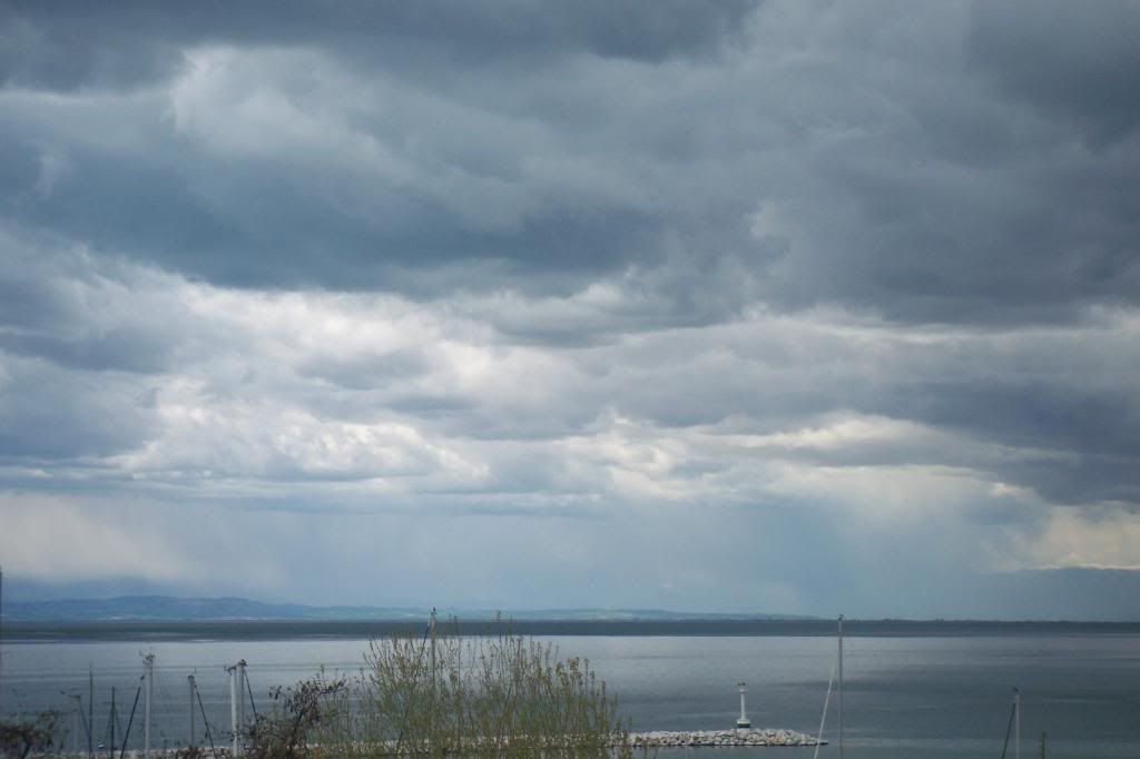
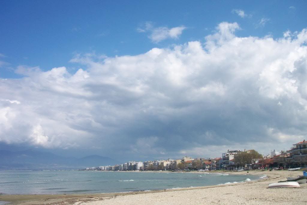
Those rain curtains were getting closer and closer...


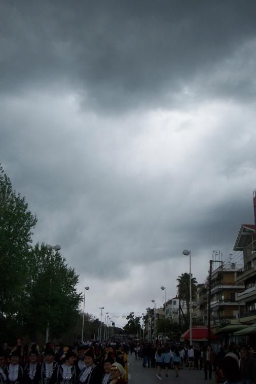
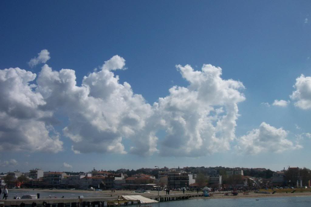
...while the sun was shining some kilometres away.


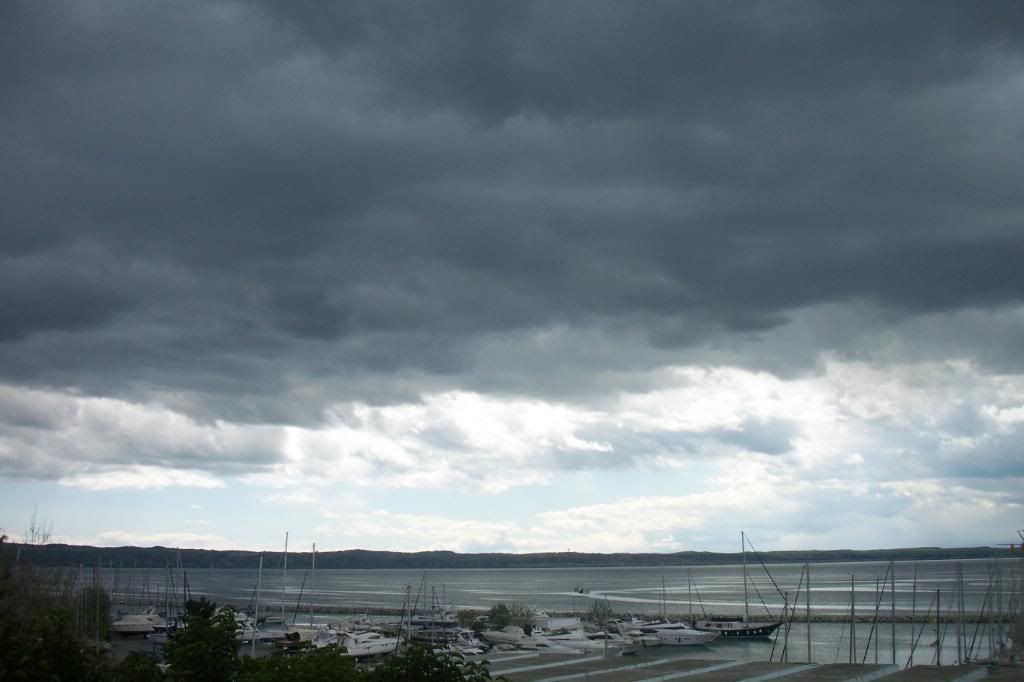
It started drizzling at noon, but there were no electrical phenomena and the precipitation was not even more than 0,5mm... The dark clouds quickly passed, but the rain curtains were "hanging" even in the edge of the clouds.


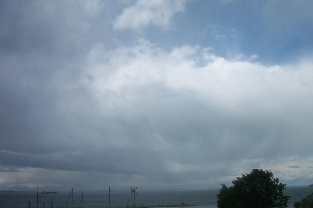
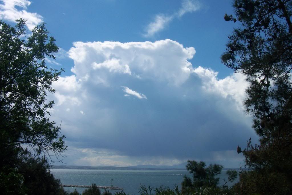
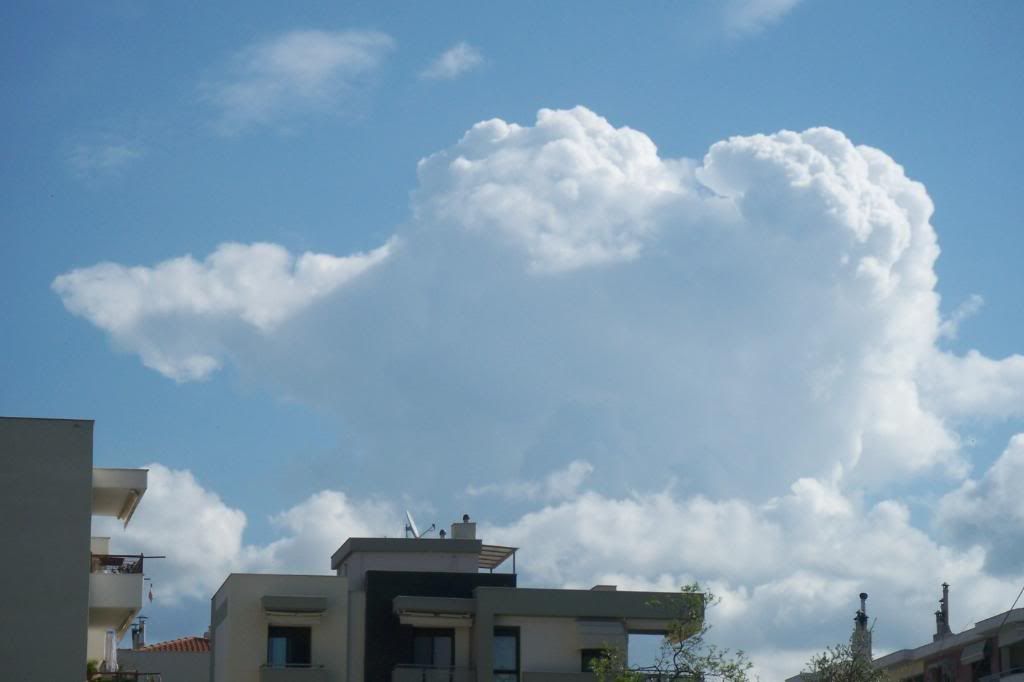
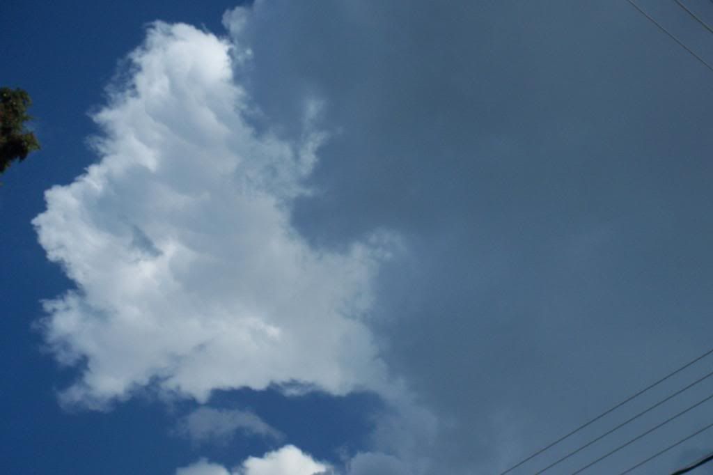
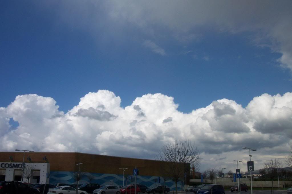
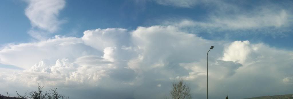
The whole thing seemed to be some Cumulus congestus, something I realized when the sky cleared up a bit.

101_9509 


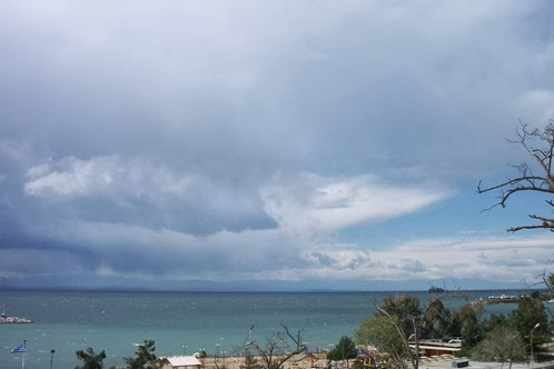
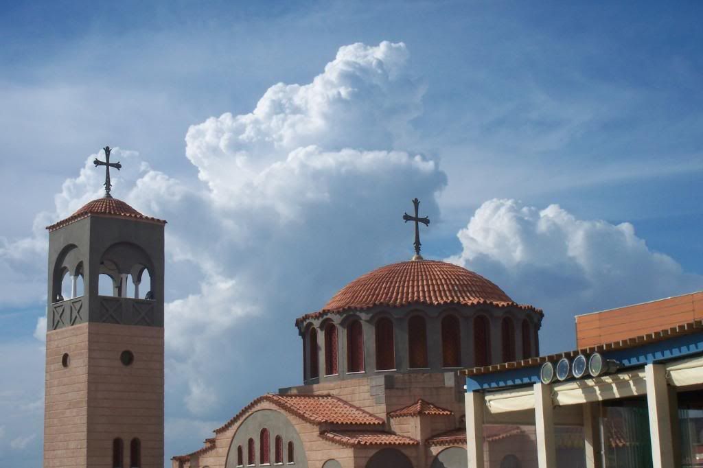
But while the clouds were leaving a Cumulonimbus' ambolt revealed!


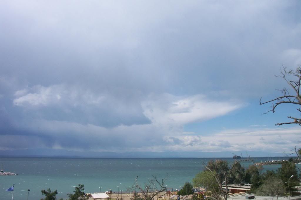
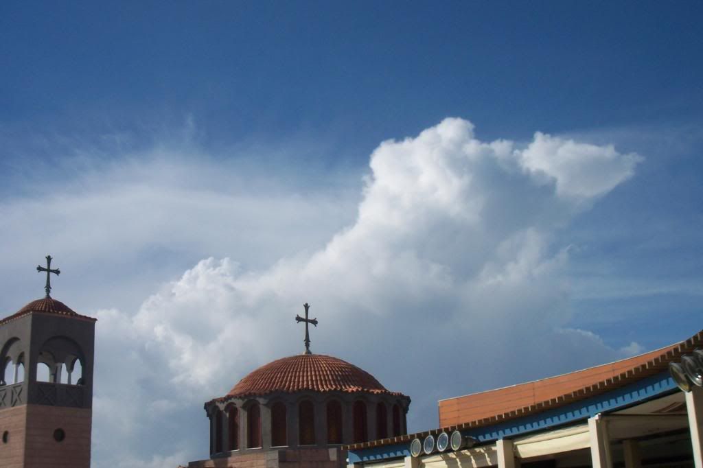
So, the rain continued around mt Olympus.


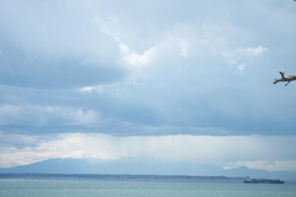
But , while the "mini-storm" was going towars South, a sudden severe wind made a mess, the roads got full of rubish and dust and the sea was white because of the waves that had formed!

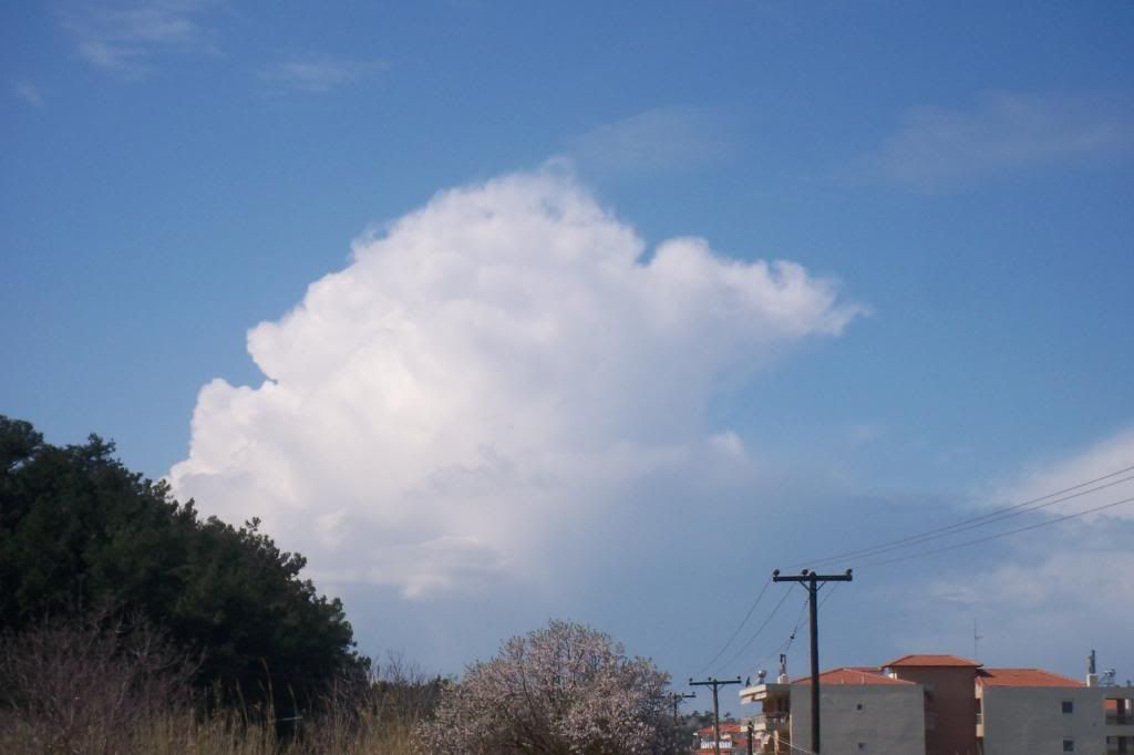
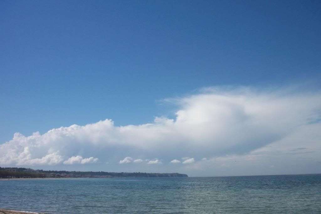
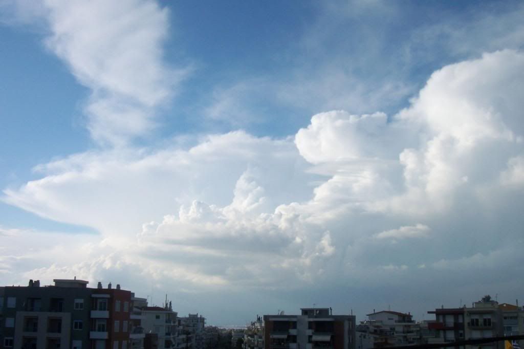
The sudden wind had also stopped after a while and the weather was calm again. The only interesting was some Cumulus West of Thessaloniki...


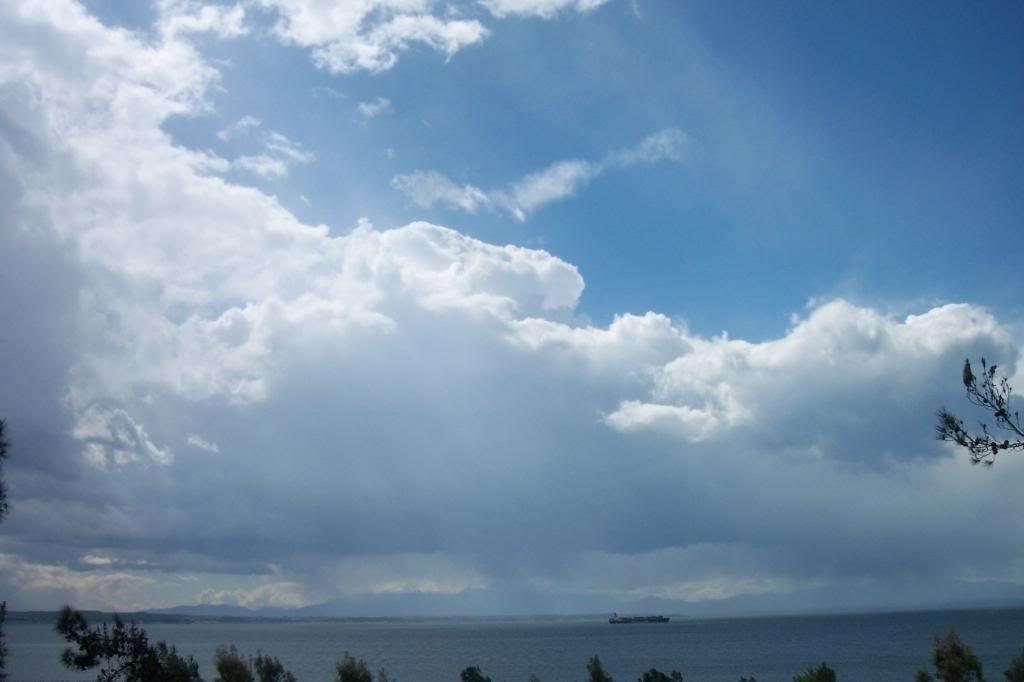
...which developing to a Cumulonimbus cloud.


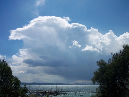
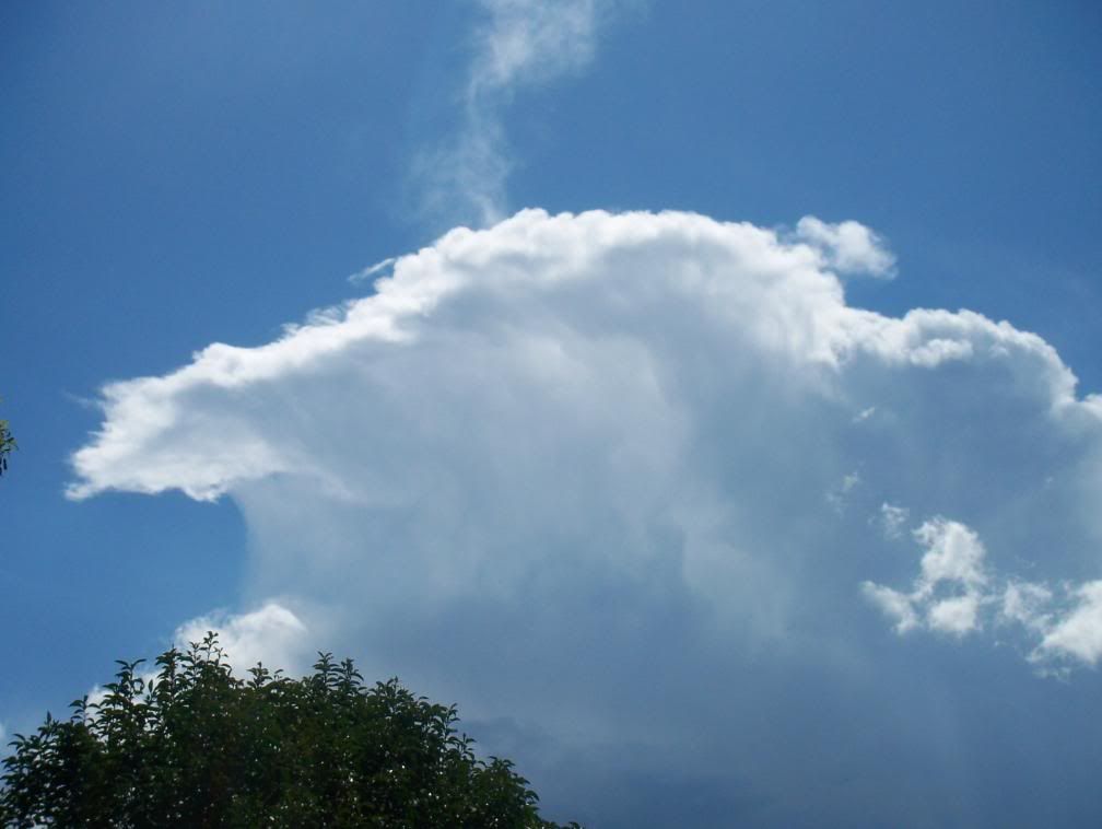
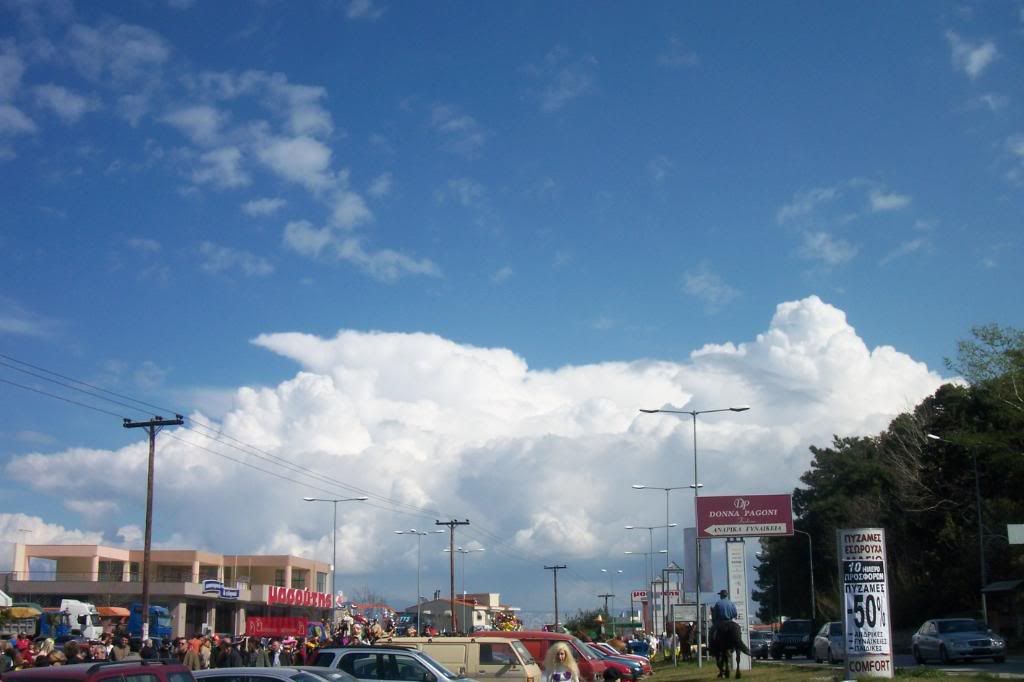
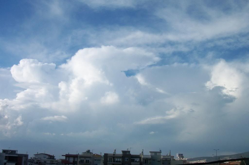
Some more rain curtains under the Cb.


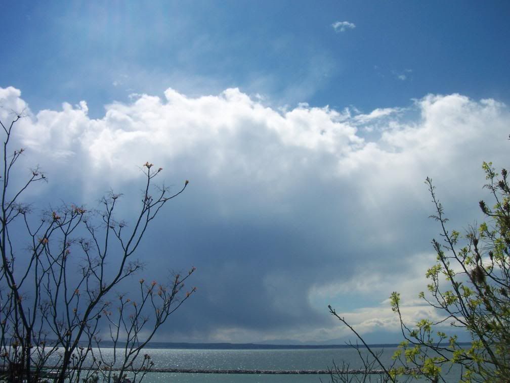
The Cb soon disolved and the rest of the day was combined with Cumulus clouds and some Virga later in the day.


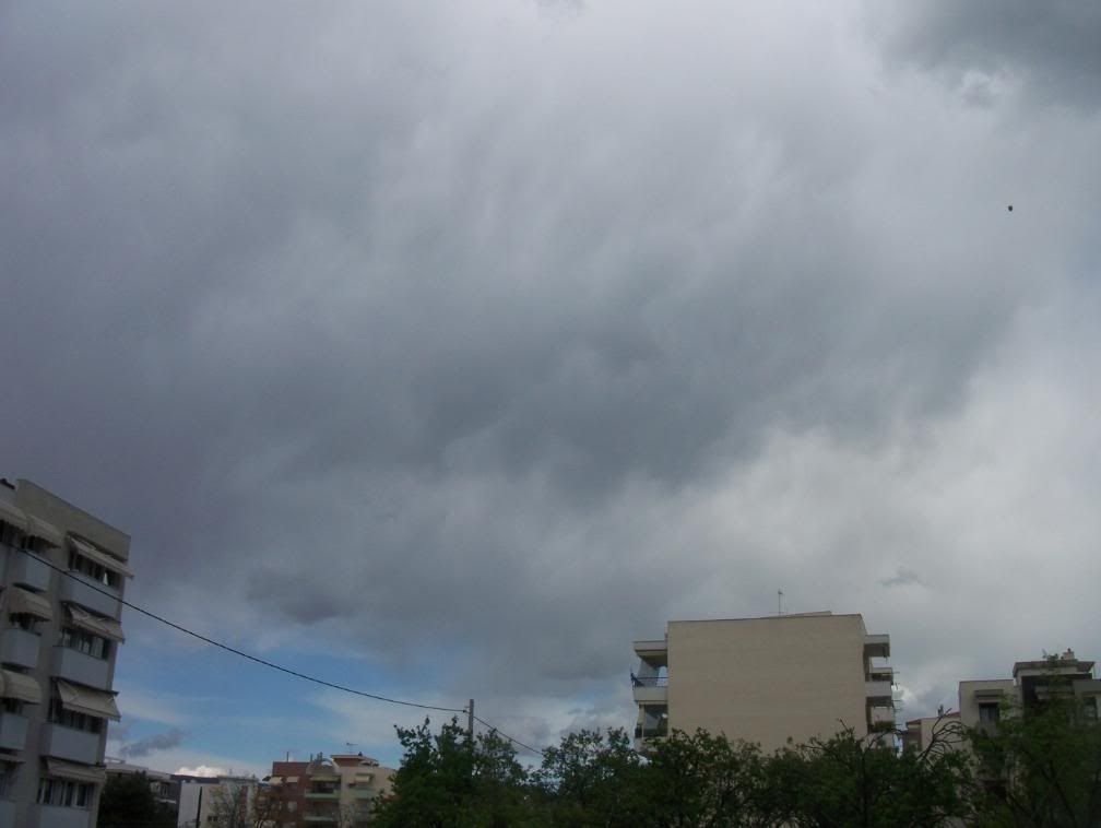
No rain since then, no thunderstorm since then (and since last year), no interest since then... Wonder how worse the weather can be...

Sunday 23 March 2008

Easter with snowstorms in Northern Europe!

Katholic Easter has fallen early this year and the weather in Northern Europe is not like spring at all.
It was a white Easter today for Scandinavia, UK, Germany and many other countries in Europe. The snow amount in Southern Norway, specifically, was over 80cm and it is still snowing, contrary to Oslo, were the weather is better now. Many electricity cuts have also been reported in Norway after the harsh snowstorms.
The temperature is also very low all over Scandinavia and it will be down to -15-20oC in many areas in Northern Norway. The temperature in Oslo yesterday morning was -11,7oC the lowest since 19 December.
The snowfalls will continue in Northern Europe for some days this week, but the weather will get warmer and sunnier by the end of the month.

You can see some photos here;
http://www.agderposten.no/apps/pbcs.dll/gallery?Avis=
AP&Dato=20080321&Kategori=FOTOALBUM&Lopenr=380912092&Ref=PH

http://www.agderposten.no/apps/pbcs.dll/gallery?Avis=
AP&Dato=20080322&Kategori=FOTOALBUM&Lopenr=18597727&Ref=PH


Or watch the snowstorm in these webcams;
http://www.agderposten.no/apps/pbcs.dll/section?category=webcam
http://www.webcamsinnorway.com/webcams.php?viewcam=689

Wednesday 12 March 2008

21 cloud time lapse videos of 2007


2007, Thessaloniki-Macedonia,Greece. 21 time lapse videos of various clouds taken during the whole year of 2007. Watch clouds passing by, Cumulus growing up to Cumulonimbus, thunderstorms and many other beautiful clouds..."made in Greece!"

Monday 10 March 2008

Cumulus time lapse video

Some Cumulus clouds appeared over mountains today, Monday, but it wasn't raining anywhere...


However, the weather will change tomorrow and I hope thunderstorms will come...

Sunday 9 March 2008

Welcome Spring, welcome thunderstorms! (photos)

At last, sun is shining and makes weather unstable!
Today, was the first day of the year with thunderstorms around Thessaloniki and Cumulonimbus clouds were appearing constantly!
The first Cumulus appeared in the morning around ~10:00 over the mountains!


Later in the day, all horizons were totally full of Cumulonimbus! One of them, a Cb towards mt Olympus had already formed an ambolt. I went to Neous Epivates, SouthWest of Thessaloniki, to watch a carnaval parade, so the photos are taken from there.


The Cumulus clouds over mt Hortiatis were growing and an ambolt was being formed on the top of them.


However, no thunderstorm appeared in Thessaloniki.


A thunderstorm was being formed over the mountains South of the city.


The Cumulonimbus towards Olympus was disolving, but...


...many Tower Cumulus were following!


The clouds South of Thessaloniki were getting bigger and darker. I could also see, that it was raining in the mountains.


At the same time, some small Cumulus congestus near N. Epivates...


...grew up all together into a thunderstorm and I soon heard the first rumbles of the year (for me)!


However, the thunderstorm's "life" didn't last so long and it was raining from Perea to the airport during the cloud's disolvation.


However, new Cumulus didn't stop to appear...


...and after Cumulus, come Cumulonimbus!


Even few hours before sunset, the Cbs were getting bigger and bigger and bigger...


The Cb North of Thessaloniki was "dieing", but some Cumulus next to it were getting higher.


I saw some lightnings under the Cb, too, but the thunderstorm seemed to weaken, as the sun was disappearing...


You can watch a time lapse video of this Cumulonimbus cloud here;


Later at night, it started raining for a while, because of a weak Cb coming from West...

It was raining also on Friday for first time after 30 days (!) and the total precipitation was 8-9mm in 3 hours.

Thunderstorms appeared early this year! Well, there were almost no snowfalls in Northern Greece for second year (!), so... let's wish thunderstorms welcome, because they are always here with us! =P

Saturday 8 March 2008

The first Cumulonimbus of the year! (photos)

Wednesday 5 March 2008, I saw the first Cumulonimbus cloud NNE of Thessaloniki.
101_9363

It seems, that I have to forget snow for this year... This is the second year with no remarkable snowfalls in Northern Greece...
So, let us hope that this summer will be full of thunderstorms, which always come!