Thursday 30 October 2008

The first snow! (photos)

So, as I wrote in the previous post, the snow was a big surprise here in Arendal. There were forecasts saying about snowfalls over 200m, but not down to 0m, something which happened Wednesday 30/10 morning. Such unsuccessful forecasts are always acceptable! =)

Unfortunately, the snowfalls didn't last longer than 2-3 hours due to the temperature rise. When it started to snow, the intensity was quite low and the streets just became wet.

102_9319 

But the snowfall soon got stronger making the snow lay on the grass, on the trees, on the cars, on the roofs and on some streets.

102_9324

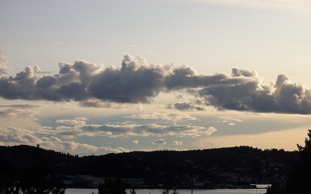
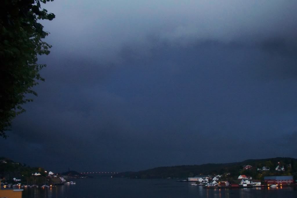
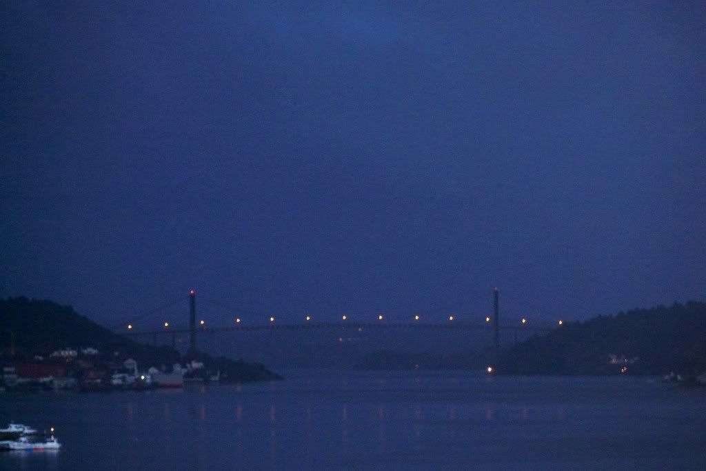
I was looking sadly the brighter clouds towards the sea, worrying about whether the snow would stop or not...

102_9328 

The snow didn't stop, but the snowfall turned into showers and hail started also to fall.

102_9333 

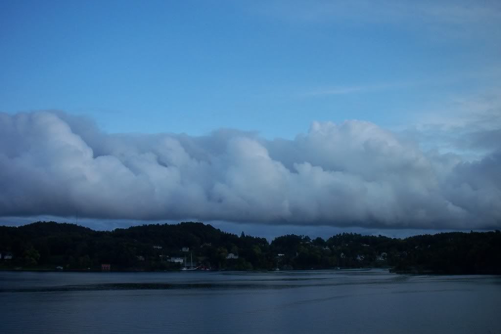
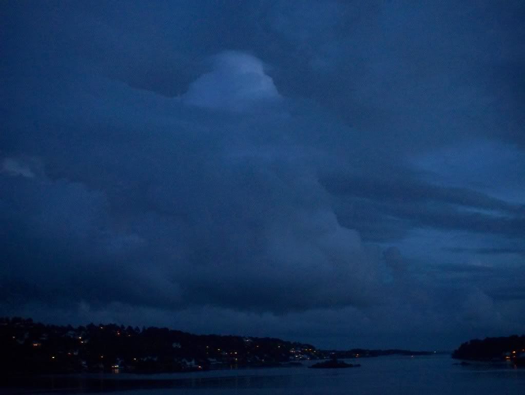
At 12:30 the sun suddenly appeared and it was snowing at the same time. And the clouds, that revealed, were actually Cumulus clouds and when I looked the satellite picture I noticed, that Cumulonimbus clouds were coming from Southeast. One of those, out in the sea.

102_9339 

Except of the morning snowfall, some snowflakes appeared the same day at midnight, too. You can watch some of the snowfalls on the video below.

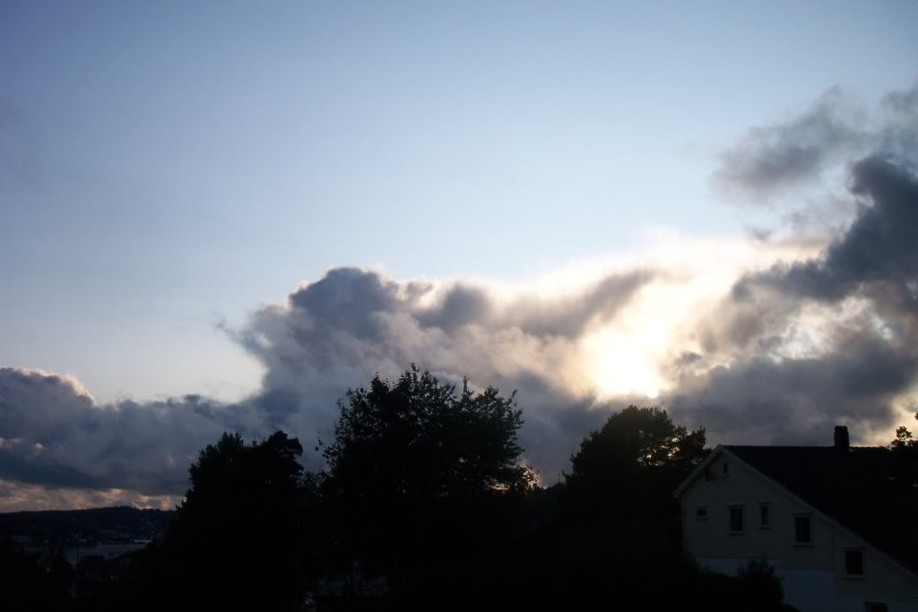
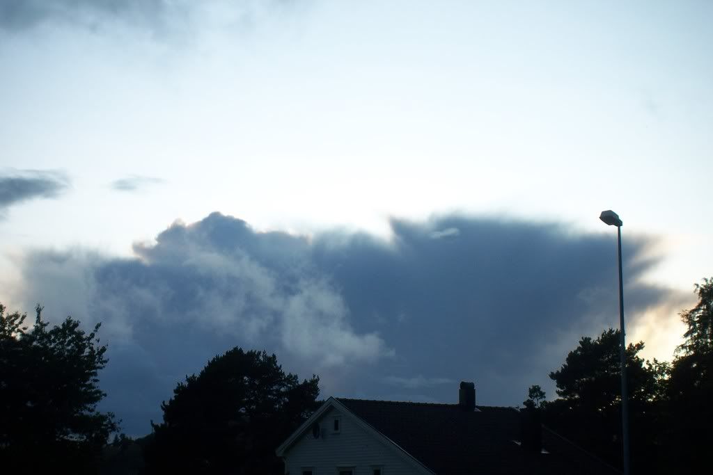
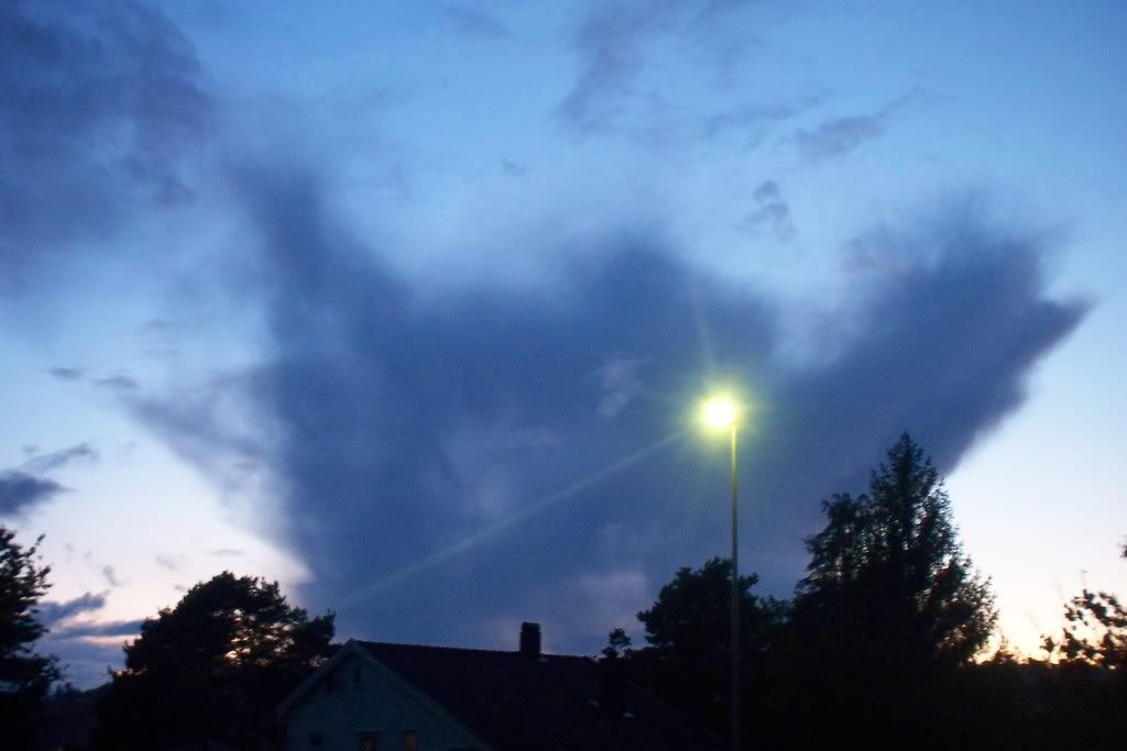
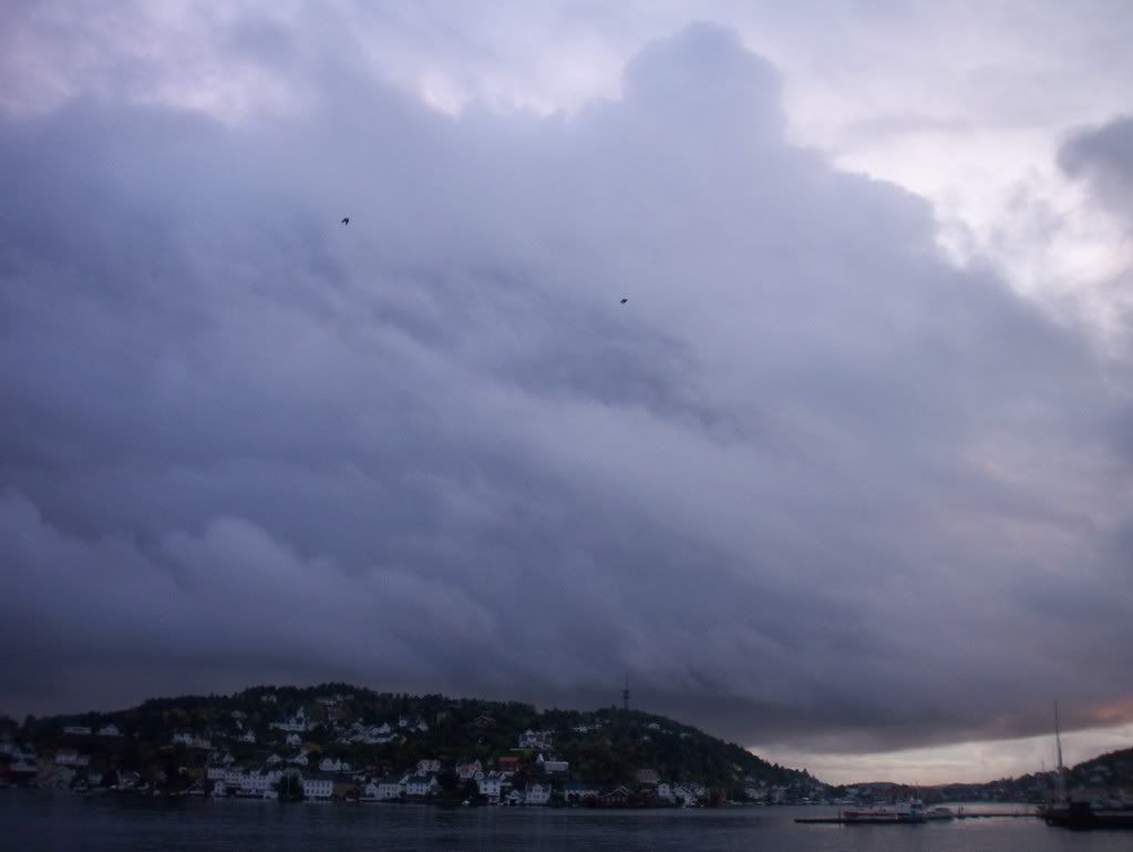
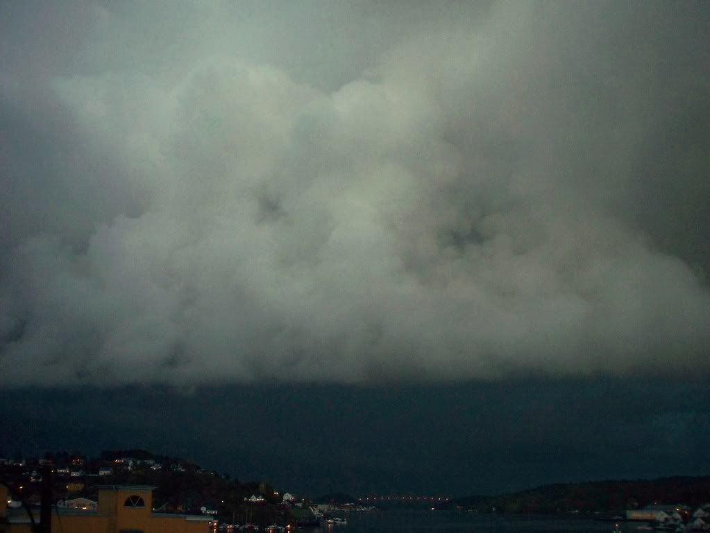
Many rain showers followed the rest of the day, but another big surprise was the big Cumulonimbus clouds with mamatus!

102_9345102_9343

102_9343-5 102_9340

I hadn't the time to look for lightnings, but I'll get mad if there were none. But although I had no time for lightning observations in the afternoon, I saw a distant thunder at ~20:30 to South, in the sea.


So if the snow has come early in Norway, what about UK?

http://www.dailymail.co.uk/news/article-1081135/One-dead-thousands-power-October-snow-London-74-YEARS-Arctic-blast-sweeps-UK.html

Wednesday 29 October 2008

An unexpected surprise!

There was no snow, when I woke up early in the morning, so I was almost sure, that I had to forget about it...

However, at ~9:30 snowflakes started falling, but since the temperature was over 0oC the ground was only wet... until the snowfall's intensity became severe and the snowflakes big. Trees, grass, roofs and some streets became white, while the temperature was around +0/+1oC. After an hour of snowfalls, snow-showers started with some hail, too.

The snow became sleet and the sun is shining now with the same temperature. I don't know whether the precipitation will stop, but after looking the radar and the satellite picture, I think there will be a continuity. But maybe not with snow, but with rain...

http://sat24.com/frame.php?html=view&country=scan

http://www.yr.no/sted/Norge/Aust-Agder/Arendal/Arendal/radar.html


And... if you see the satellite... you'll probably notice that those clouds are Cumulonimbus clouds... I can see one of those in the sea right now. By the way, it's the first time I see Cumulonimbus cloud with 0oC.


Photos and videos will be posted tomorrow!

Tuesday 28 October 2008

Storm "Ulrik" (Snowfalls will come later...) (photos)

After another cyclone causing problems in Norway with severe winds, the weather this week will be slightly better, but also colder...

However, I will see no snowflakes as I hoped... GFS's last runs show the temperature for this week much higher now, than it did some days ago. Max temperature will be around at 6-7oC and min may fall under 0oC if the nights will be cloudless. And this will probably happen, since the only rainy days will be Wednesday and Thursday, but the precipitation will not be as much as it was forecasted last week. After that, a High pressure will cover the Scandinavian area.

But the place where the precipitation will be quite much, is Middle and Northern Norway, because a polar Low will come and give some snowfalls and strong winds the following days.

Saturday afternoon, clouds started covering the sky and suddenly it got very windy.

102_9281 102_9284 

The clouds were getting steady darker making the sea looking black. Severe winds continued making loud noises whole night and it stopped no sooner than Sunday early morning. The wind rate was around 30m/s and in Western Norway, where the storm was even worse, the wind gusts reached even hurricane level! The meteorological institute came out with an extreme weather-warning on TV and gave the cyclone the name "Ulrik". The interest thing is that the Low's shape looks much like with the hurricane that stroke Norway in 1992!
http://www.yr.no/nyheter/1.6280892

And after the storm, the sun was shining and Cumulonimbus appeared again over the sea on Sunday and Monday 26&27/10.

102_9288102_9294

No electrical phenomena again, but 2 showers came to Arendal Monday afternoon. It was two Cumulonimbus, that were about to disappear, so their dissolving caused the rainfalls and there were lots of virga to see.

As you can see in Monday's satellite picture below, Arendal in South Norway is not in an beneficial position in the case of Cumulonimbus... Thunderstorms come from Atlantic ocean striking Western Norway, but not the Southern areas, because they get "stuck" in the mountains, so the only exit for the Cumulonimbus clouds is the sea between Norway and Denmark...

And in the summer thunderstorms form usually in the mainland and not in the sea...

So... when do thunderstorms appear in the coastline? It's many years since the last time I had experienced a severe thunderstorm in Arendal... There was only 2-3 weak thunderstorms here this year with few rumbles. And not at night, so there was no lightning to see...

27-10-08

Friday 24 October 2008

Cold, but Cumulonimbus keep developing (photos)

Winter is not far away and we'll get a taste of it in the end of the month. Max temperature in Southern Norway will get down to 5oC and the min under 0oC. In many areas the temperature will fall even lower, so the precipitation will appear as snow over 600m in South and probably along the coastlines in Northern Norway. However, I hope to see some snowflakes late at night, here in Arendal, too. It's a bit early to be sure, but with temperatures under 0oC at night it won't be impossible.

During cloudless nights the temperature has been down to 0oC making the ground frost and rime form.

But although the weather is cold now, there are still some Cumulonimbus to see like those on Tuesday 21/10.

102_4953102_4958    102_4961102_4960  102_4969102_4975

After a shower in the afternoon...

102_4956 

...some mamatus were seen in an ambolt.

102_4966


Something I don't understand is why the Cumulonimbus clouds, that come here, are always about to die... Perhaps, when they come from the warm sea to the colder land, they get weakened.

The weather was sunny on Wednesday after some showers in the morning and some isolated weakened Cb clouds were crossing the sea between Norway and Denmark during sunset. 102_4979

Apart from some nice, but cold days some Low pressures coming in from the Atlantic ocean have been responsible for days with rainfalls and severe winds, such as Monday 20/10 and Thursday 23/10.

In West Norway the rainfalls were extremely severe, that a lanslip was caused!

http://www.yr.no/nyheter/1.6272352

Monday 6 October 2008

Storm and 36m/s wind gusts in Southern Norway! (photos)

After quite many days with cloudless sky, the weather is back to normal here in Southern Norway with some rainfalls and lots of interesting clouds.
Like this wavy cloud, Altocumulus undulatus.


A wonderful sunset also decorated the sky with pink colors last week!


And although the temperature has not been higher than 15oC lately, there was instability in the atmosphere, which was responsible for Cumulus formations.


Some of the clouds had a shape of Cumulonimbus, but the size was much smaller. There was no electricity of course, but I always get so confused with those Norwegian clouds. How is it possible, that clouds have that shape without being a thundercloud? Like these on the photos, which had already dissolved.


Something I like here in Southern Norway is that Northern Denmark's clouds can be easily seen! For example, in this photo (taken on Thursday, 2/10) the shadow of a Cumulonimbus can be noticed behind the Cumulus clouds.


The rain we had on Friday 3/10, came in the form of showers. The only shower, that's worth mentioning is the last one, as it was getting dark.
A big cloud mass was getting closer from NW.


So, it started raining for some minutes.


The cloud mass must have got bigger, while leaving, making the E horizon really dark! The only thing anyone would expect of those dark clouds is thunders, but there was nothing to see...


However, some beautiful Cumulus were suddenly formed in front of this cloud mass, which had a strange gray/brown/yellow color.


Another sudden Cumulus formation, was seen towards the sea. And this one was developing so quickly, that a pileus had been formed on the top of it.


The weekend's weather was even worse due to a Low pressure, which is somewhere in middle Norway now. It started raining Saturday evening and severe winds at 28m/s made the whole scene look like a storm. Actually it was a strom, that meteorologists didn't forecast, and it was stronger than the "Tuva"-storm in February. The wind gusts reached even 36m/s (~129km/h), which is the limit between the huriccane kategories 1 and 2! Numberous of trees have also fallen and there was flood in some areas. No name was given to the storm, since meteorologists didn't expect this weather. Two lightnings also appeared that night!
Photos and info in Norwegian here:
http://www.yr.no/nyheter/1.6248375
http://www.nrk.no/nyheter/distrikt/ostfold/1.6248661?index=5#image-gallery-content
http://www.nrk.no/nyheter/distrikt/ostfold/1.6247984
http://www.tv2veret.no/article2276404.ece

The temperature has also fallen. Meteorologists keep warning people to be careful on the road, because wet roads can get icy in the morning. The sky was cloudless last night, so the temperature has been below 0oC in many areas.
The first snowfalls has also been down to 400m, so the snow amount is up to 10-15cm in the mountains, here in Southern Norway.
In Northern Norway the temperature has been around 0 - +5oC these days and the winter has already set in with snowfalls, strong winds and temperatures down to -15 - -10oC in Spitzbergen.

A little early for winter, but I hope snowfalls won't be delayed in areas next to the sea.