At last rainfalls are covering whole Greece these days, including South Greece, too. The thunderstorms were really severe in some areas and the rainfalls were much more in South Greece last week, than in North Greece, where the perticipation was less again than expected... The rainfalls prevailed mainly on Saturday (20/10) and Sunday night till Monday (21-22/10). Monday morning was interesting in Thessaloniki, after a warm front causing rainfalls and winter situations with Stratus and Stratocumulus. However, later in the morning a cold front was approaching and this was the reason, that Cumulonimbus clouds had developed. For example, a thunderstorm was East of Thessaloniki and rumbles could be heard from these black clouds. 
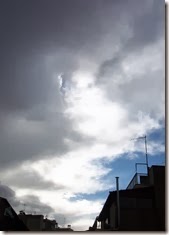
Time lapse of the edge of the Cumulonimbus cloud.
While this Cumulonimbus was leaving, suddenly some Cumulus appeared from the sea later in the day. These Cumulus clouds were developing very quickly and they looked like this in some minutes!


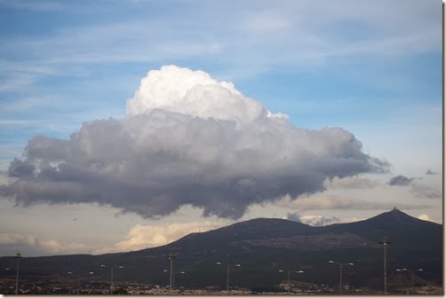
And these clouds finally became a Cumulonimbus cloud while passing East of Thessaloniki.

You can watch the developments in this time lapse video.
Clouds covered the sky in the afternoon and the rest of the day was cloudy and cold...No thunderstorms were near Thessaloniki any longer...

Distant Cumulus congestus and thunderstorms were the main characteristics of the weather the following days. 
One of these days I captured this. 
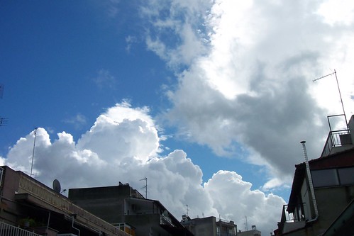
It looks like that the Cumulus clouds (left in the picture) have made a shield "against" the Altocumulus clouds (right in the picture)! Why have the Altocumulus clouds this weird form around the Cumulus? Strange, I thought...
Unfortunately, the weather since Friday 26/10 is really dizzy with foggy mornings and the sky is covered with Stratus and Stratocumulus...Thessaloniki looks like London these days... 
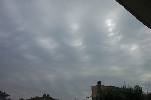
Another strange phenomenon I captured was these waves on a cloud-base...(31/10) 

I wonder, if this phenomenon, is what we call "Gravity wave"...


No comments:
Post a Comment