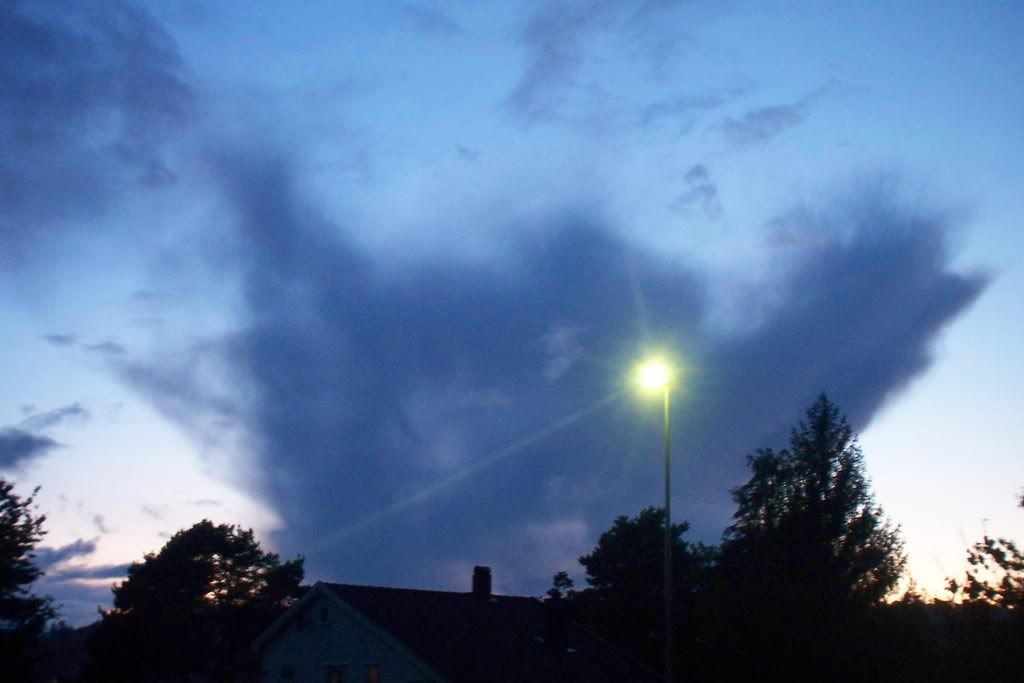
Like this wavy cloud, Altocumulus undulatus.

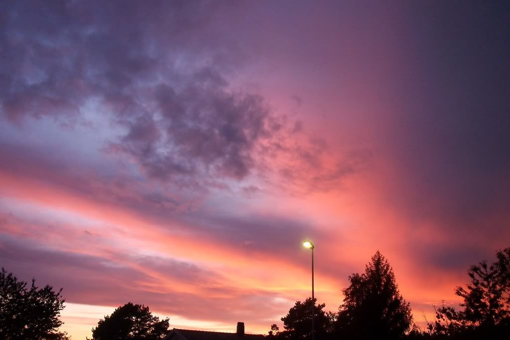
A wonderful sunset also decorated the sky with pink colors last week!
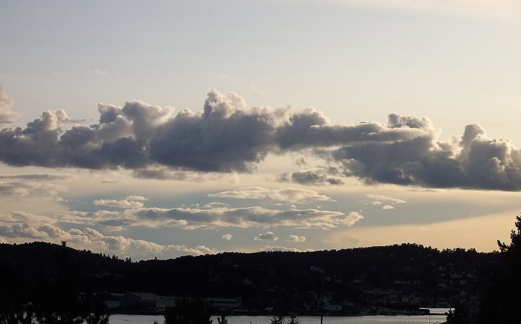
And although the temperature has not been higher than 15oC lately, there was instability in the atmosphere, which was responsible for Cumulus formations.
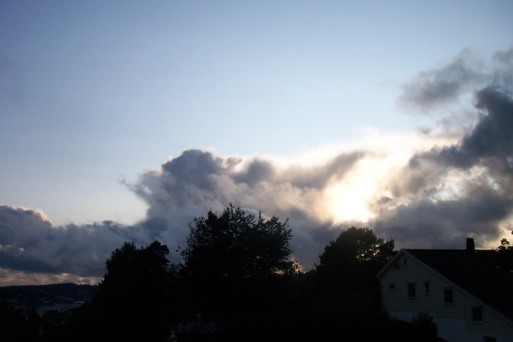
Some of the clouds had a shape of Cumulonimbus, but the size was much smaller. There was no electricity of course, but I always get so confused with those Norwegian clouds. How is it possible, that clouds have that shape without being a thundercloud? Like these on the photos, which had already dissolved.
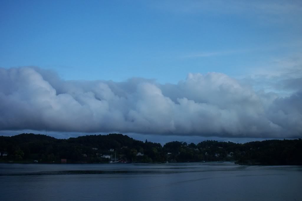
Something I like here in Southern Norway is that Northern Denmark's clouds can be easily seen! For example, in this photo (taken on Thursday, 2/10) the shadow of a Cumulonimbus can be noticed behind the Cumulus clouds.
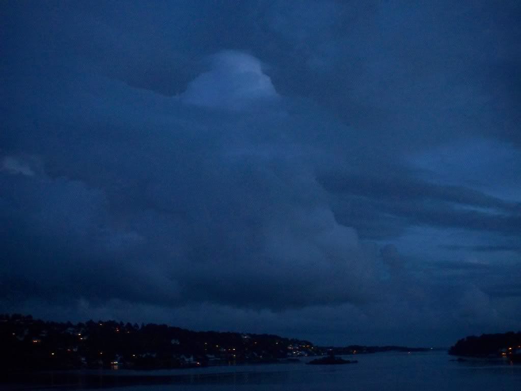
The rain we had on Friday 3/10, came in the form of showers. The only shower, that's worth mentioning is the last one, as it was getting dark.
A big cloud mass was getting closer from NW.
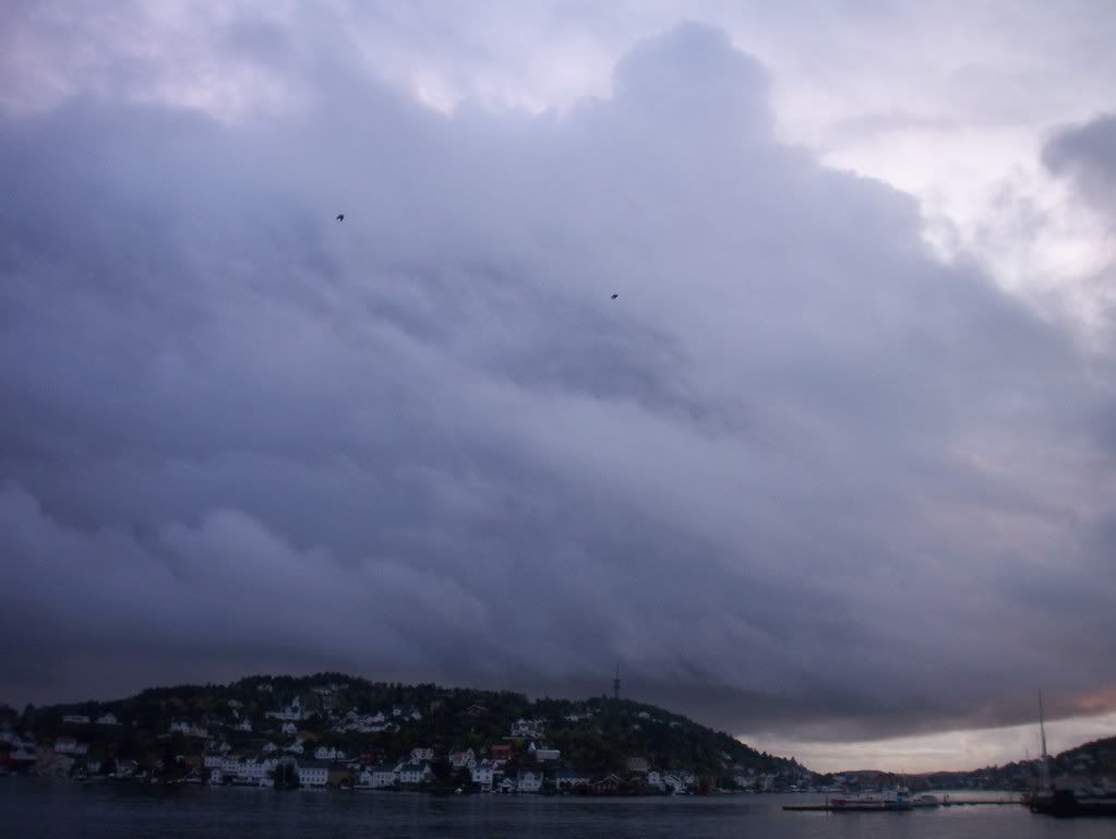
So, it started raining for some minutes.
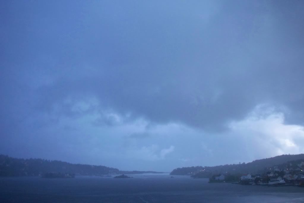
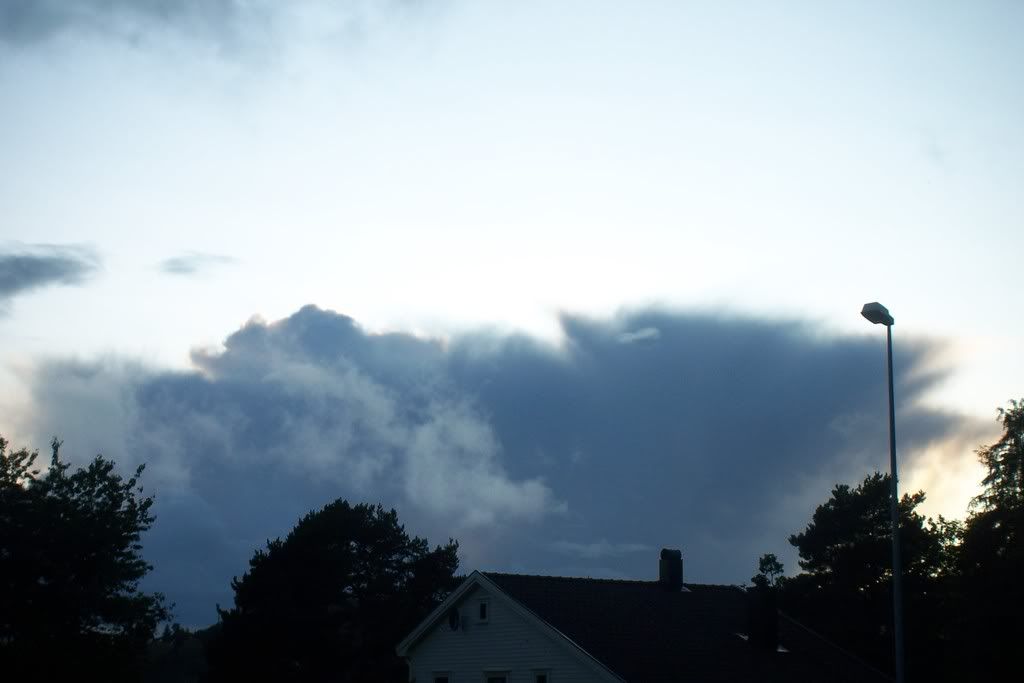
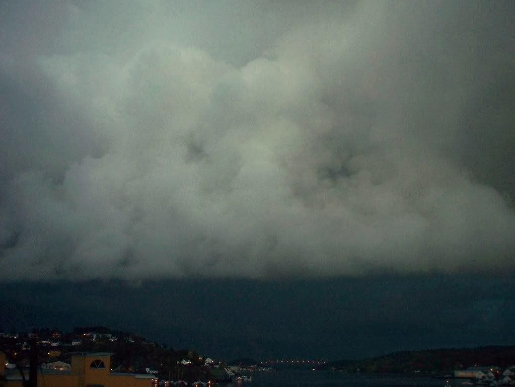
The cloud mass must have got bigger, while leaving, making the E horizon really dark! The only thing anyone would expect of those dark clouds is thunders, but there was nothing to see...
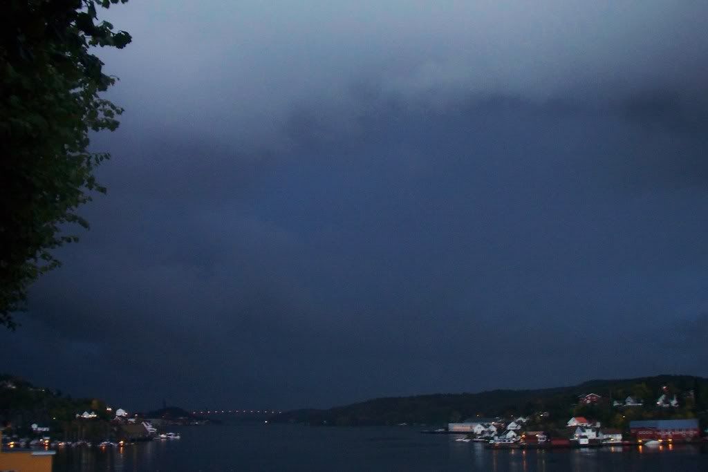
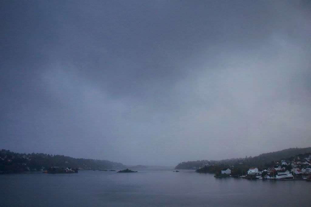
However, some beautiful Cumulus were suddenly formed in front of this cloud mass, which had a strange gray/brown/yellow color.
Another sudden Cumulus formation, was seen towards the sea. And this one was developing so quickly, that a pileus had been formed on the top of it.
The weekend's weather was even worse due to a Low pressure, which is somewhere in middle Norway now. It started raining Saturday evening and severe winds at 28m/s made the whole scene look like a storm. Actually it was a strom, that meteorologists didn't forecast, and it was stronger than the "Tuva"-storm in February. The wind gusts reached even 36m/s (~129km/h), which is the limit between the huriccane kategories 1 and 2! Numberous of trees have also fallen and there was flood in some areas. No name was given to the storm, since meteorologists didn't expect this weather. Two lightnings also appeared that night!
Photos and info in Norwegian here:
http://www.yr.no/nyheter/1.6248375
http://www.nrk.no/nyheter/distrikt/ostfold/1.6248661?index=5#image-gallery-content
http://www.nrk.no/nyheter/distrikt/ostfold/1.6247984
http://www.tv2veret.no/article2276404.ece
The temperature has also fallen. Meteorologists keep warning people to be careful on the road, because wet roads can get icy in the morning. The sky was cloudless last night, so the temperature has been below 0oC in many areas.
The first snowfalls has also been down to 400m, so the snow amount is up to 10-15cm in the mountains, here in Southern Norway.
In Northern Norway the temperature has been around 0 - +5oC these days and the winter has already set in with snowfalls, strong winds and temperatures down to -15 - -10oC in Spitzbergen.
A little early for winter, but I hope snowfalls won't be delayed in areas next to the sea.
No comments:
Post a Comment