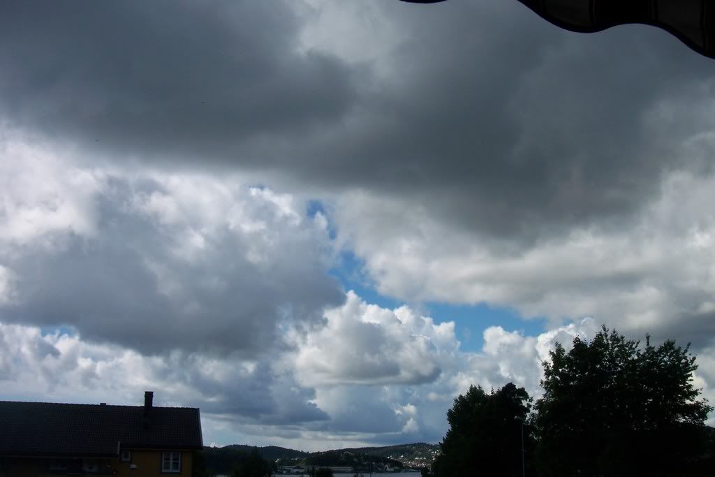
Cumulonimbus clouds in Scandinavia do not appear as often as they do in Southern areas of Europe and they don't have the same lifetime or intensity. Another bad thing is that they form easier over mainland, than sea... So, it’s not many thunderstorms Southern Norway experiences, in contrast to areas North of Oslo, where they have had some nice thunderstorms this summer. However, two weeks ago, on 3 August, the unstable atmosphere formed some interesting clouds. From the early morning, some small Cumulonimbus clouds started coming from the mainland...
... giving some showers, but without electrical phenomena and their duration was very short, too.
The time lapse video can show exactly what happened that day.
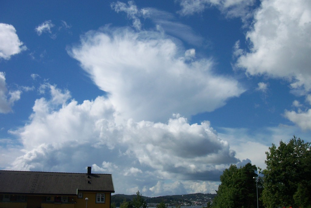
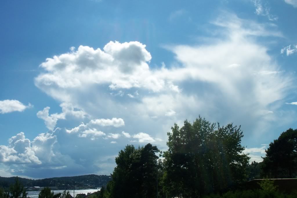
Something else interesting was that the same evening, the instability was moved over the sea, where new Cumulus clouds had started forming.
It makes me sad, that thunderstorms in Norway are not as spectacular and severe as in Greece, but the positive is that there are plenty of clouds to photograph all year long-like the nocticulent clouds I wrote about.
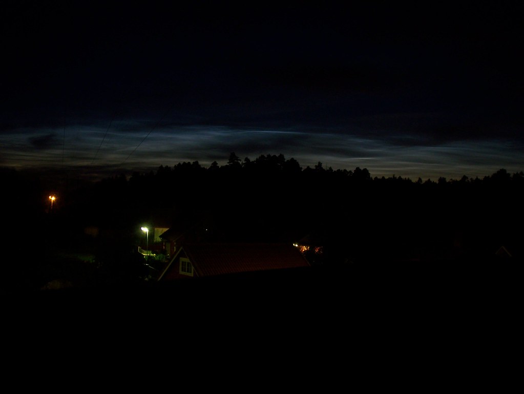
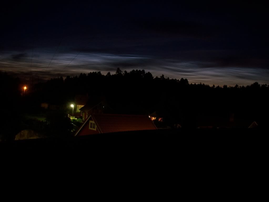
It was 2am Saturday 26/7, while I was arriving home after a day with no weather interest. But, suddenly I noticed something strange happening toward the North horizon. You know the blue, green and yellow colors that appear on the horizon, after the sun has set? Well, I saw the same colors behind some trees at that time, so I was very confused, because the sky was dark and the sun had already set some hours earlier. I ran to a place with better sight and although it took some time to understand the phenomenon, I figured out that it was nocticulent clouds! Those clouds are usually very high in the sky, at a height of ~30km and can be seen after the sun has set. It was a beautiful view-the sky was black and dark, but the horizon was bright because of the nocticulent clouds! More info about those beautiful clouds can be found here: http://en.wikipedia.org/wiki/Noctilucent_clouds http://www.cloudappreciationsociety.org/gallery/index.php?x=browse&category=24&pagenum=1
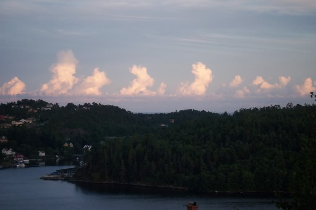
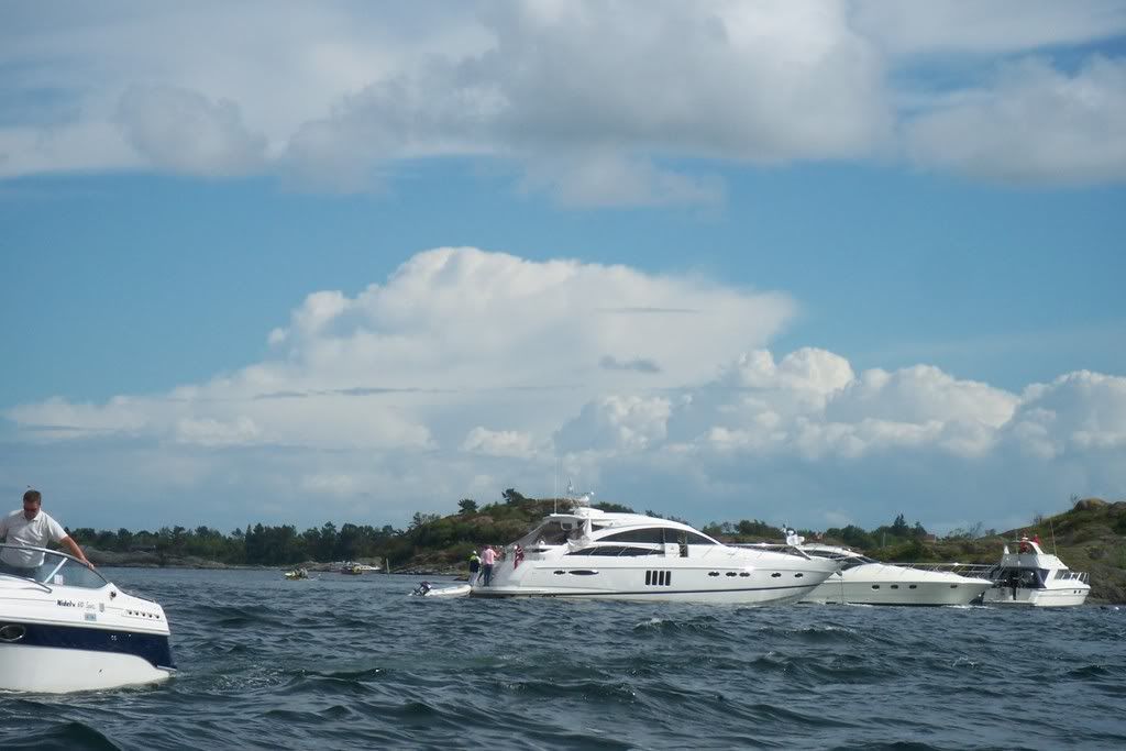
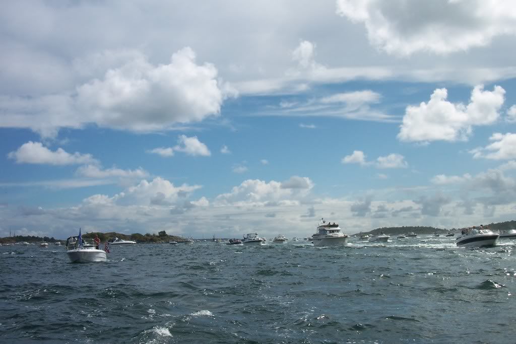
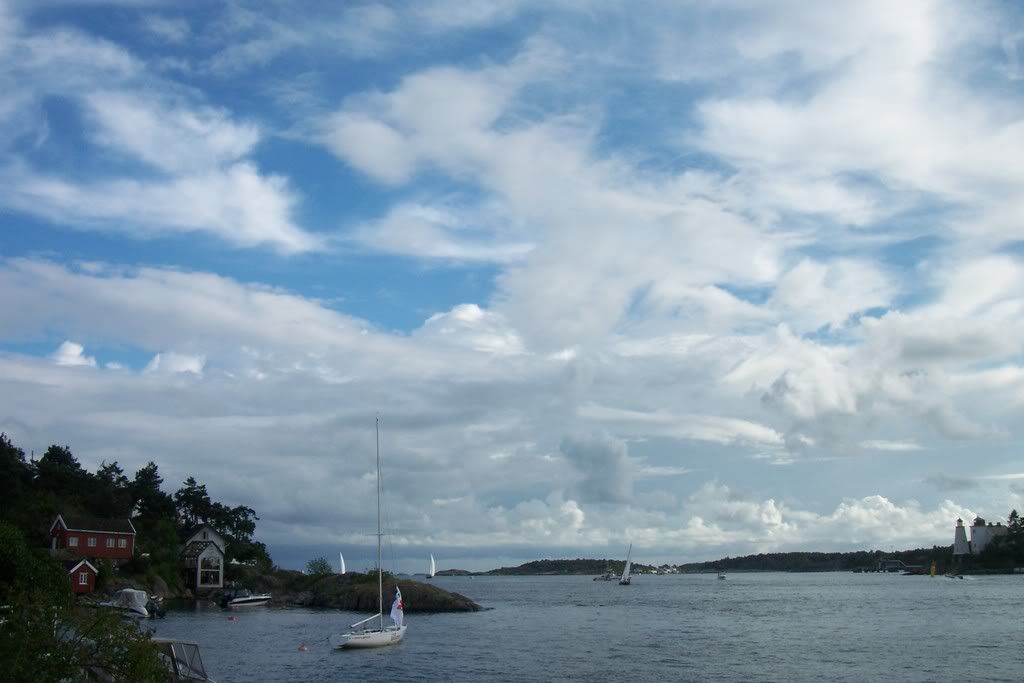
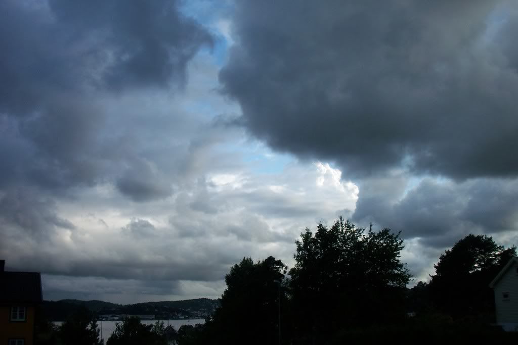
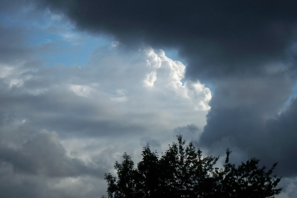
Sunday 20th July, was a big day for Arendal. It was the Norwegian Grand Prix offshore boat race and everyone went to the sea to watch the whole thing and so did I. The sky was cloudy with Cirrus and some Cumulus congestus were seen over mainland... ... whereas in Northern Denmark the sky was cloudless, so Cumulonimbus were developing much easier. Some appeared over the sea, too. As soon as the Cirrus clouds disappeared and the sun warmed the ground, some small Cumulus were formed plus some suspicious clouds towards the sea. It seemed to be a Cumulonimbus getting closer. I could also see rain curtains under the cloud. That Cumulonimbus was about to die, something I noticed from the ambolt... … ...but behind those Alto-clouds some new Cumulus tops were growing.
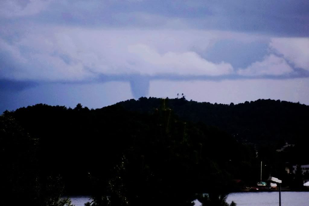
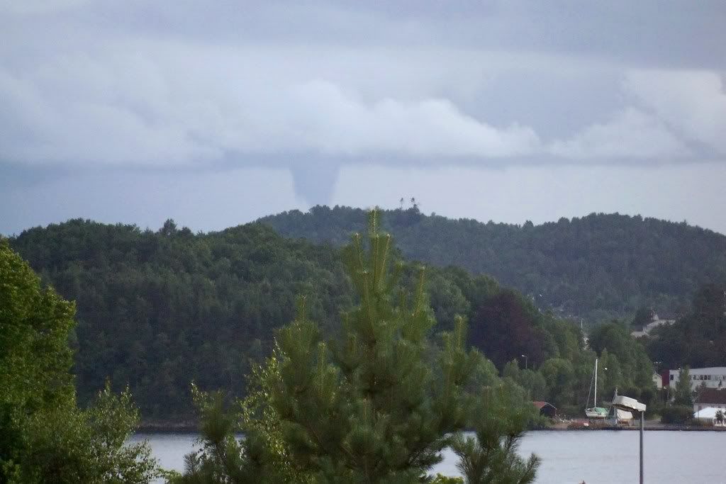
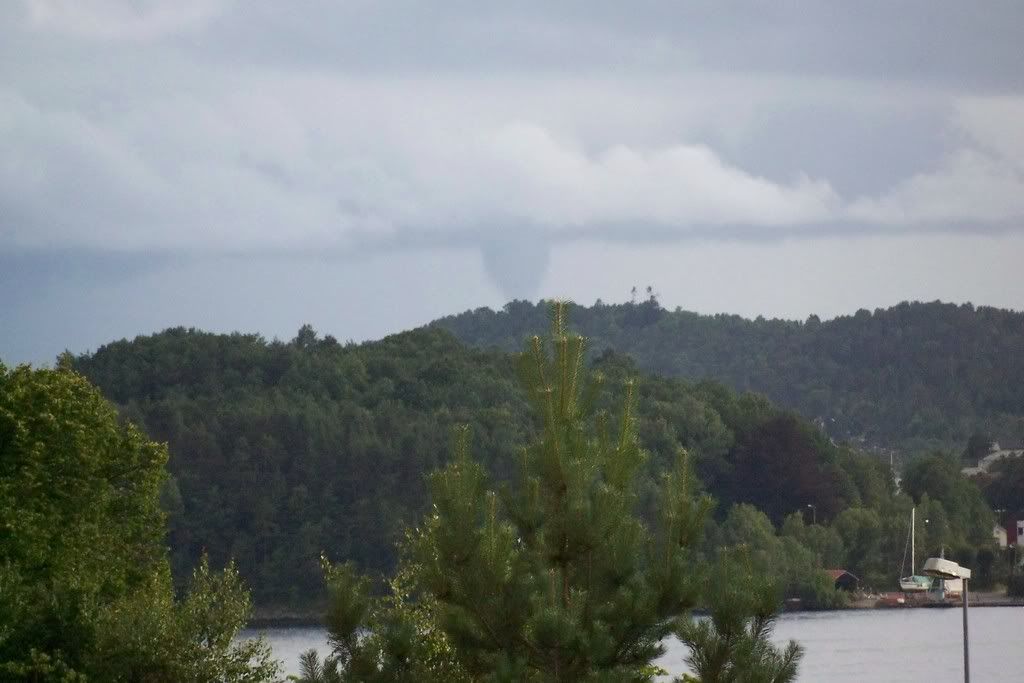
So, it was a cloud system coming closer, but remained above the sea. And suddenly I saw something going downward back of the Tromøy island. It was a funnel cloud over the sea, which means a water sprout! The whole phenomenon lasted some minutes and a slight rotation can also be seen on this time lapse video I have recorded.
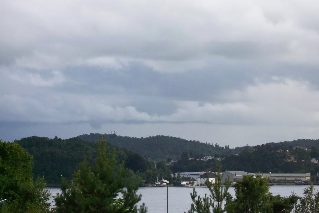
At the same location, I saw that it began to rain heavily and clouds with low basis were being formed. Later in the evening, it started raining lightly for some minutes in Arendal, too.