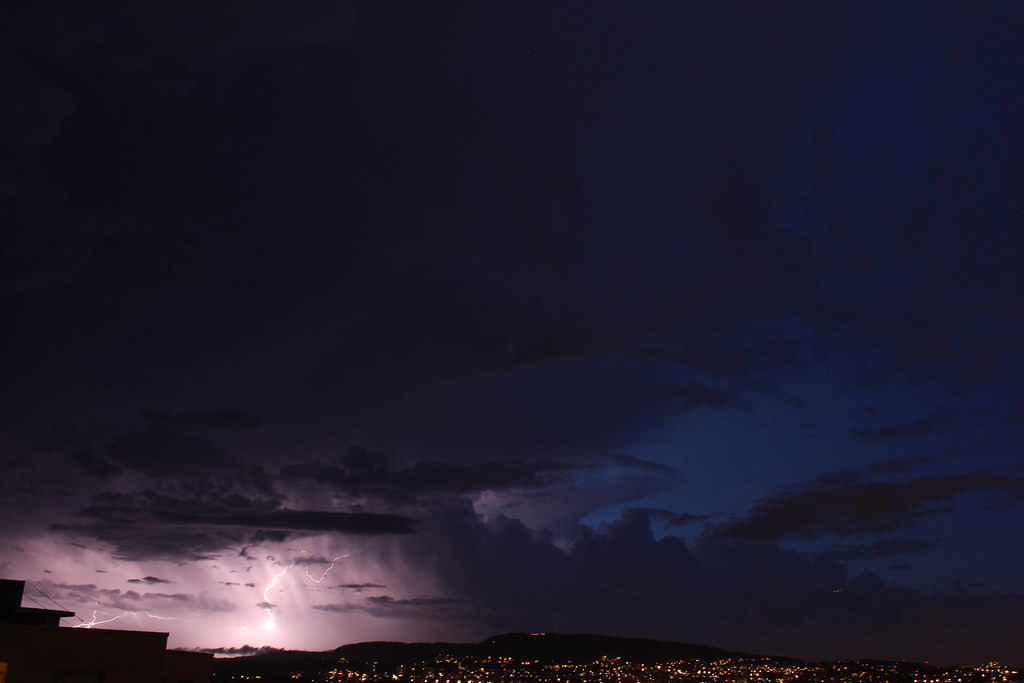
A lot of things have changed since I first made this blog and I have to admit that it has been pretty quite for a long time. The main reason is that I live in Norway now and I don’t get to enjoy the wonderful thunderstorms I did in Greece. I won’t lie, there’s plenty of weather in Norway, but it’s usually plain rainstorms or snowstorms. It cannot compare to the glory of Cumulus clouds growing into Cumulonimbus and a lightning night show. However, I am glad to live in Oslo, because since I either way have to be in Norway, the Eastern part of the country is where it is most likely to experience thunderstorms.
The reason I moved to Norway is studies. I am half Greek, half Norwegian and after finishing high school in Greece, I moved to Norway and now I have another two years of my meteorology studies. I have always been a fan of meteorology, so I can’t wait to start working as an meteorologist.
This summer I got a job at the Norwegian meteorological institute and we are (at maximum) 8 students who are sorting old meteorological observations of which some go all the way back to 1896. This project started last summer, but there is still more.
DNMI has a storage room inside of a bakery actually, so we are taking the archives with us at the meteorological institute we sort them and put them inside ISO-certified boxes and finally send them to The National Archives of Norway.
Retrieving from the storage room (inside of that door):
Unpacking, sorting and packing:
Delivering:
Now, another thing that has to be done is digitalizing all these observations! This is a work with no end in sight, so students are doing this as a part time job during the whole year. And this is now going to be my part time job next to the studies! We are actually ahead of the schedule when it comes to the project, so we might have to punch already from August.
Staying in Oslo this summer instead of in the seaside of Southern Norway means that I got to experience more convective summer thunderstorms, one of which broke a precipitation record. I will come back with time lapses and fotos.


