The best thing about the weather getting warmer is that thunderstorms will sooner or later follow! We’ve had some pretty warm days in Norway and there were record high temperatures in Finland – 30oC in May. In Oslo we had 27oC on Friday 23/5 and the humidity was so high that the sky was white just like it usually is in Greece.
So, as a result of this weather, various Cumulonimbus were developing in the Southern Scandinavia and a huge Cumulonimbus cell that was causing several damages in Denmark the whole previous night was still active the following morning moving towards Oslo.
The arrow was a prediction, which was wrong, in my opinion. It should be to the northeast, because the cloud did come to Oslo, but had lost all its electrical activity. You can watch a time lapse video from that day, though the clouds were not as fascinating as I was hoping them to be.
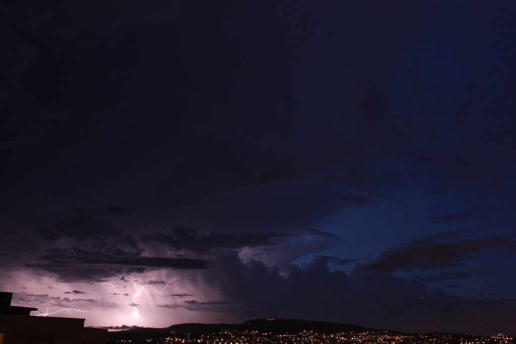
Since the Danish storm brought us only rain, we had to rely on some other Cumulonimbus cloud of those around us. A thunderstorm passed by Oslo later at Friday night. Unfortunately, this is all I got:
On Saturday we were unlucky because it was like all thunderstorms were avoiding Oslo despite Eastern Norway in general being full of Cb clouds. Here is a time lapse of Saturday 24/5.
On Sunday there were no thunderstorms to see in Scandinavia in general, but some cells suddenly appeared Southwest for Oslo which didn’t affect the city, but distant lightnings were observed and I managed to get a great shot, too!
And here is a video of lightnings and a time lapse I decided to make of the many fotos I took hoping for a good lightning shot.

