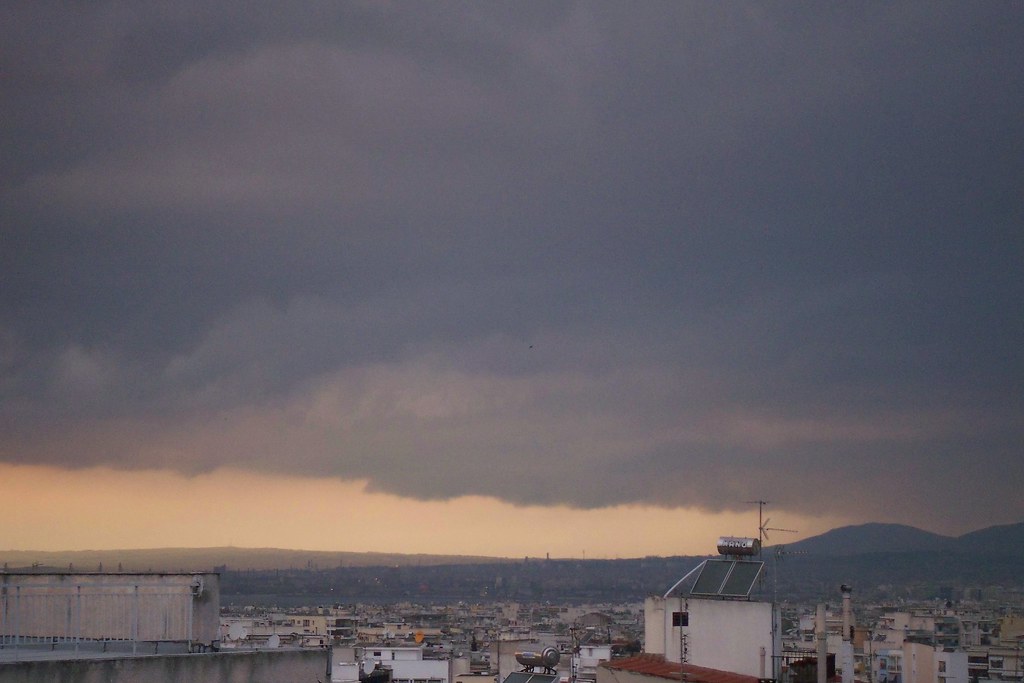
Thursday, 31 July 2008
Thunderstorms after hot weather!
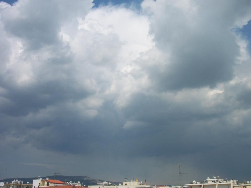
2 & 4 July 2008, Thessaloniki - Macedonia, Greece.
After two weeks of hot weather and temperature being over 35oC some severe thunderstorms came to give an end to this boring weather.
However, the rest of July was also warm, except of the last days, when the weather was a little cooler.
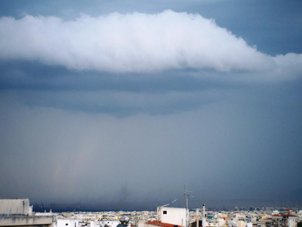
Thursday, 3 July 2008
June, starting with thunderstorms, ending with hot weather
Hello again. I‘ve finished with exams now, but I still don’t have internet at home, so I still can’t update the blog so often.
But the first days of June were really exciting, so I have to show some photos.
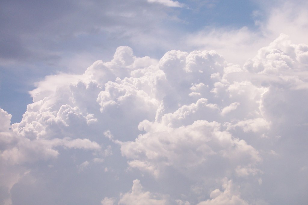
Huge Cumulonimbus appeared in the afternoon of 1 June. The Cumulonimbus of the photo below was in Bulgaria and even though it could be seen in Thessaloniki. One friend of mine asked surprisingly: “How can this cloud be in Bulgaria, when I see it above me?”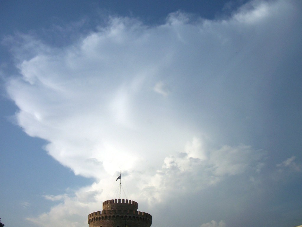
Towering Cumulus and distant Cumulonimbus appeared next days, too.
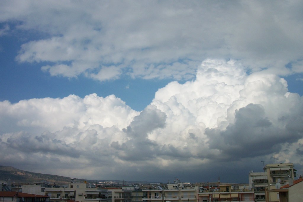
However, 7th June was a really “explosive” day! Cumulus could be seen everywhere and there was no doubt that thunderstorms would appear later.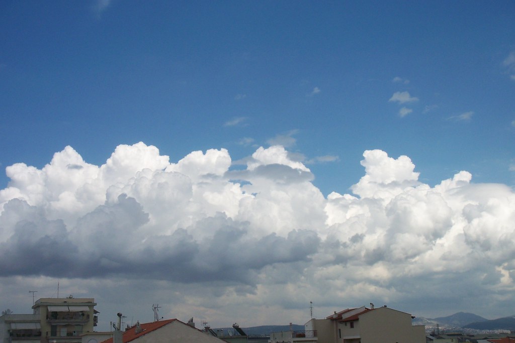
As I was watching those beautiful clouds, I noticed the West horizon getting darker. And when the low clouds, that made this beautiful scene, ...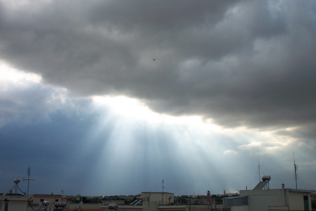
... dissolved, an ambolt appeared very high in the sky around at 18:30.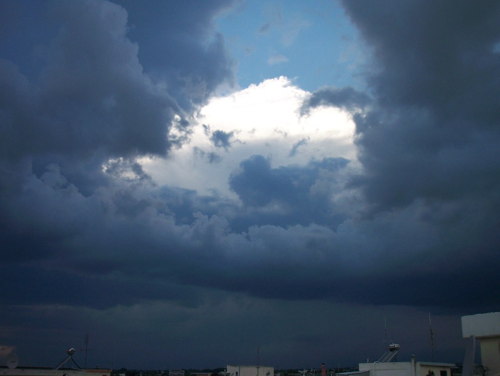
It was a multicell, which was moving extremely slow-almost immovable. But, in front of it new Towering Cumulus were formed and because of the ambolt above them they had got a strange blue colour making a spectacular show and the lighting “mysterious”, that warned about was going to happen.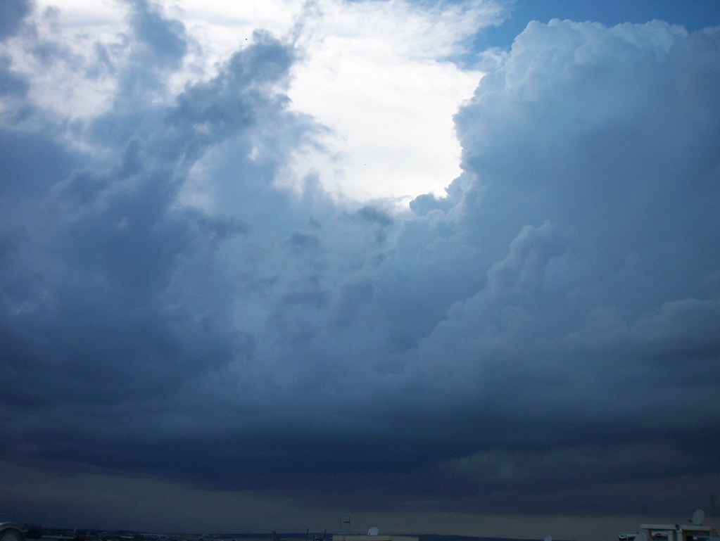
At the same time I noticed a tiny rainbow to Northeast…
… and another thunderstorm to East.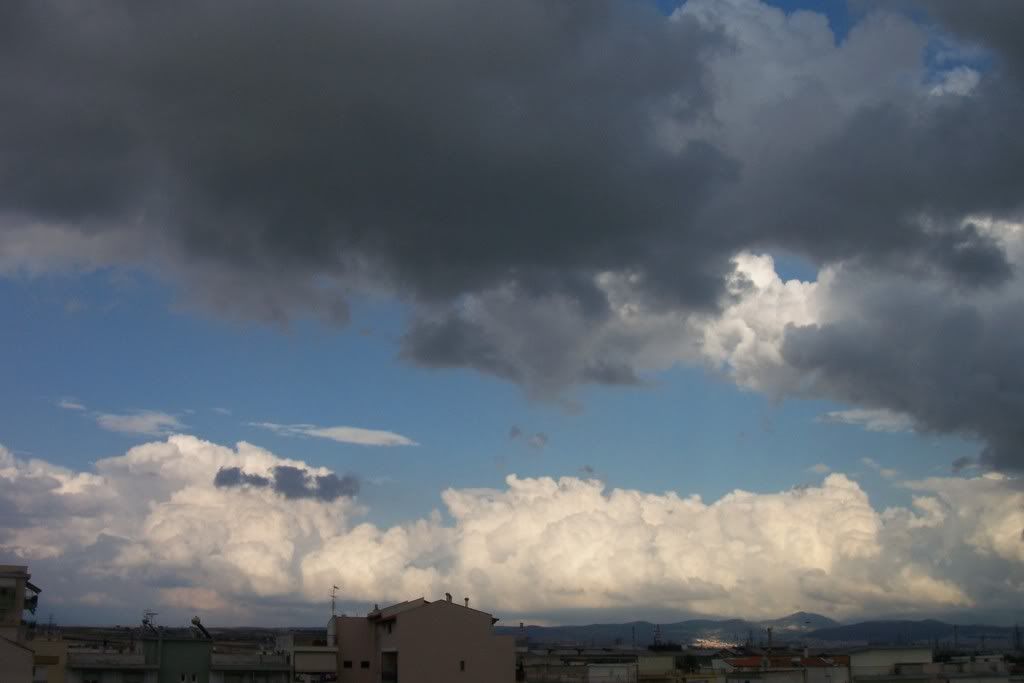
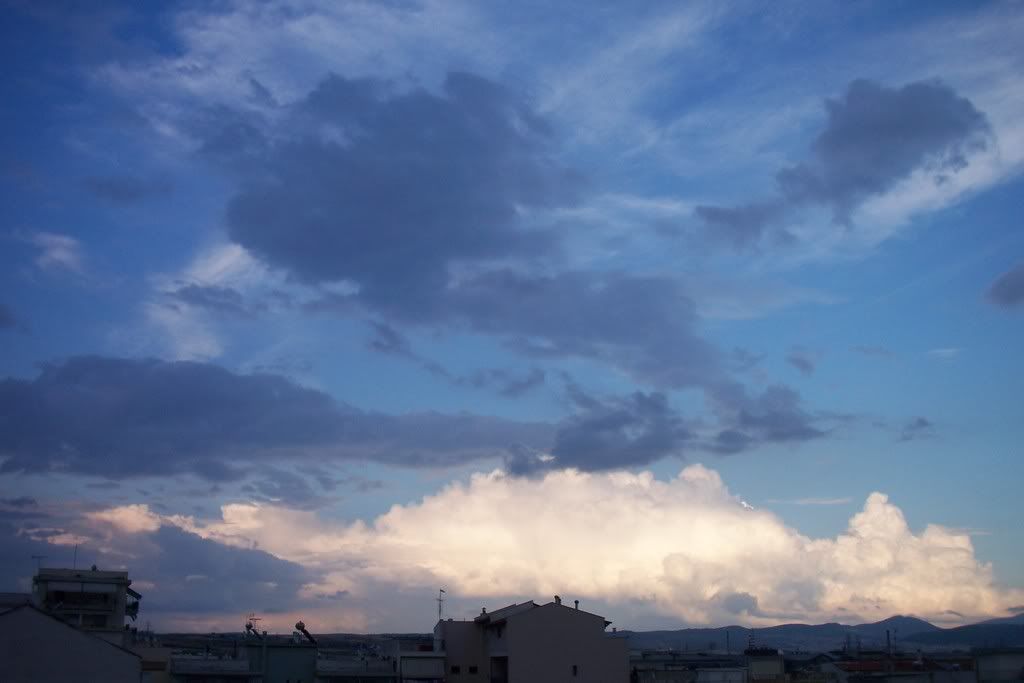
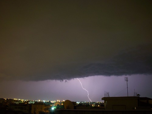
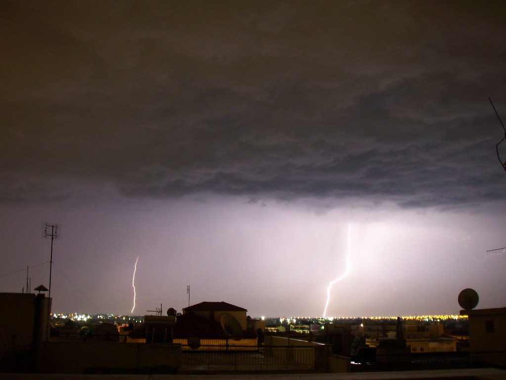
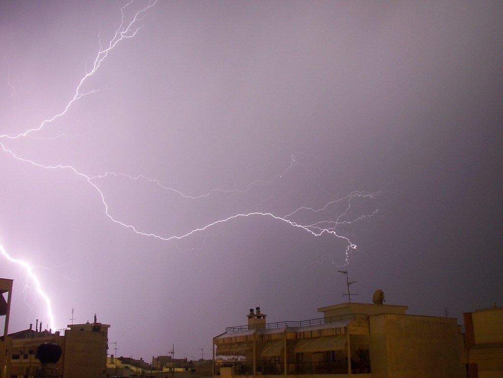
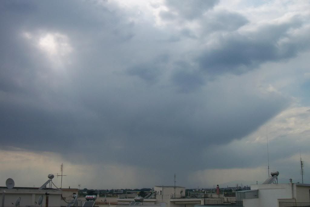
As the sky was getting darker, distant lightnings and thunders were seen from the West southwest horizon till Northeast! The area, where thunders were striking, was enormous and the frequency was also very high, which reached even 324 strikes/minute!!
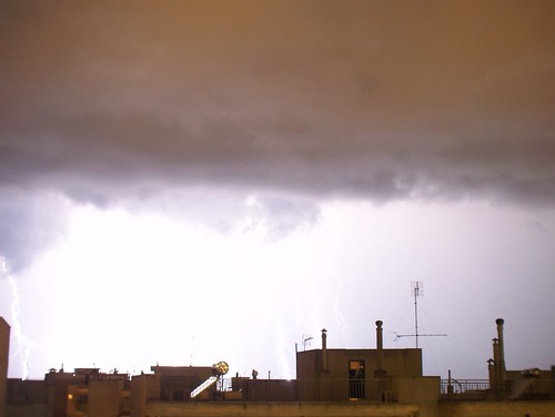
At 21:15 a shelf cloud was getting closer and after passing above me, it started raining and being windy and rumbling and lightening.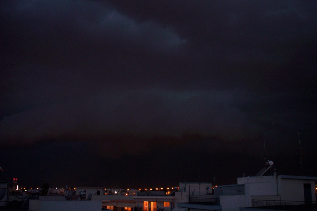
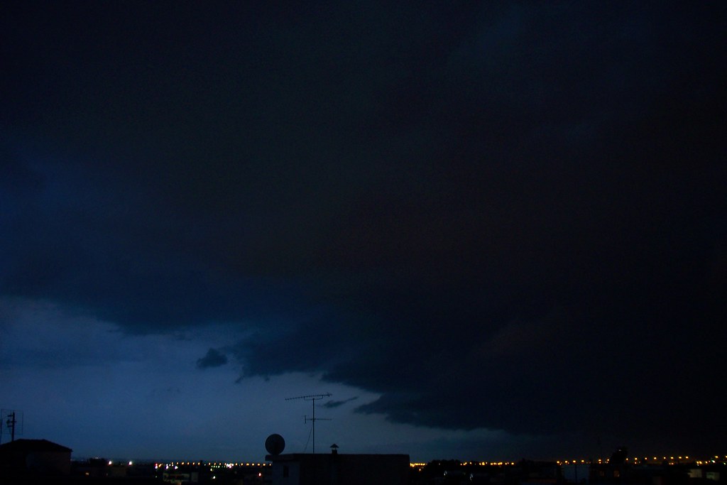
Many electricity cuts were provoked as the thunders could be seen everywhere during night. The multicell was leaving, but new distant Cumulonimbus were formed, which affected mostly areas around mt. Olympus and Southern areas of Thessaloniki.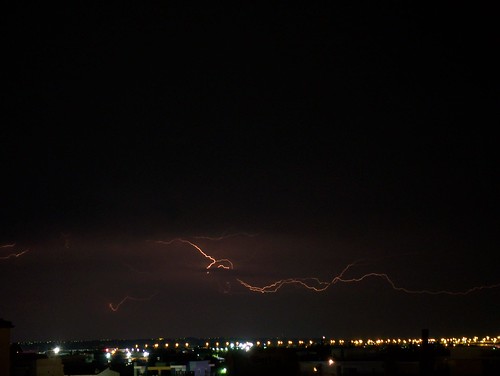
No thunderstorm ended sooner than dawn. Electricity cuts were provoked in most areas of Thessaloniki, roads closed due to mud and floods, hail destroyed cultivations, trees fell because of severe winds and many other problems happened in Macedonia that night.
Next morning Cumulus were everywhere again and it was obvious, that we would not avoid another thunderstorm.
When I watched the lightning detector and the satellite image in the afternoon, I noticed the course of the yesterday’s multicell. In 18 hours the course was: from Thessaloniki South to Chalkidiki, then North again to Stavros, East of Thessaloniki, to Kavala and Thasos, then to Thraki and finally it reached in Constantinople, where the multicell dissolved. A really big distance and a long lifetime!
The thunderstorm, that affected Thessaloniki that day, appeared at the same location, Northwest. New Cumulus from West were also developing really quickly as they were approaching, getting as high as the Cb next to them.

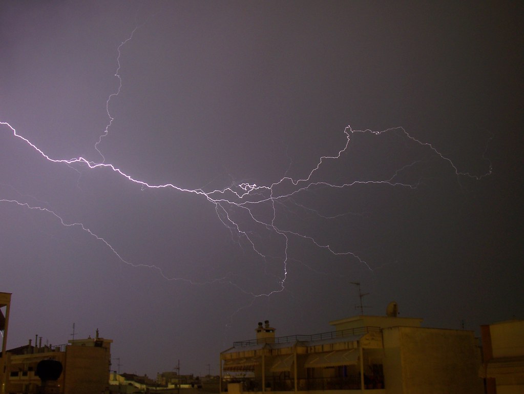
There were plenty of beautiful thunders that lightened up the whole cloud and it started raining over midnight, although the thunderstorm wasn’t that severe this time.
I made a video of those two days showing the spectacular phenomena I experienced!
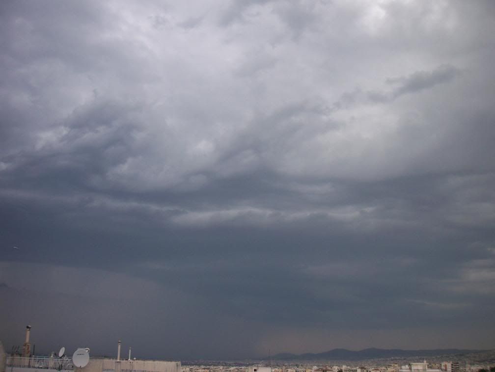
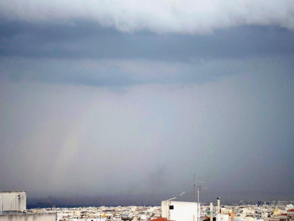
Some thunderstorms followed also next days around Thessaloniki, but a nice one came 5 days later. Dark clouds, rain curtains and a shelf cloud over Thermaikos gulf made the thunderstorm look dangerous.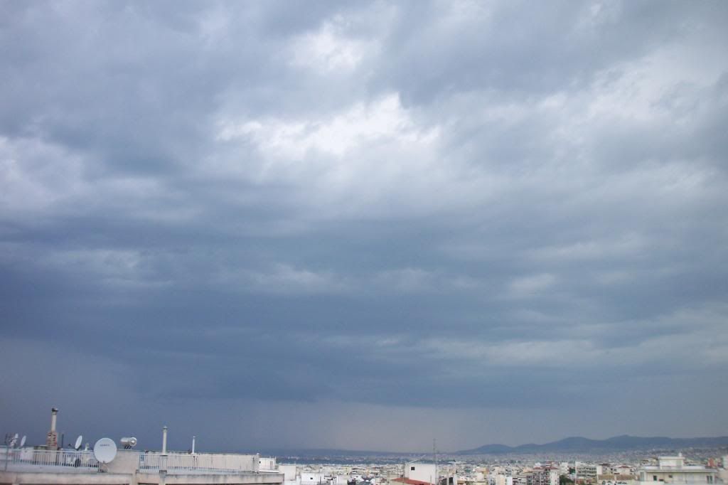
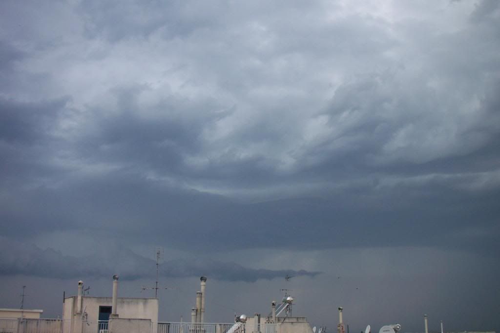
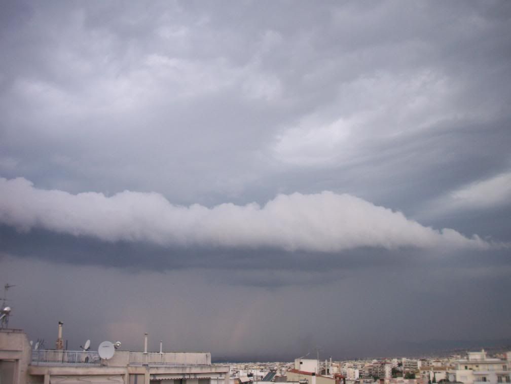
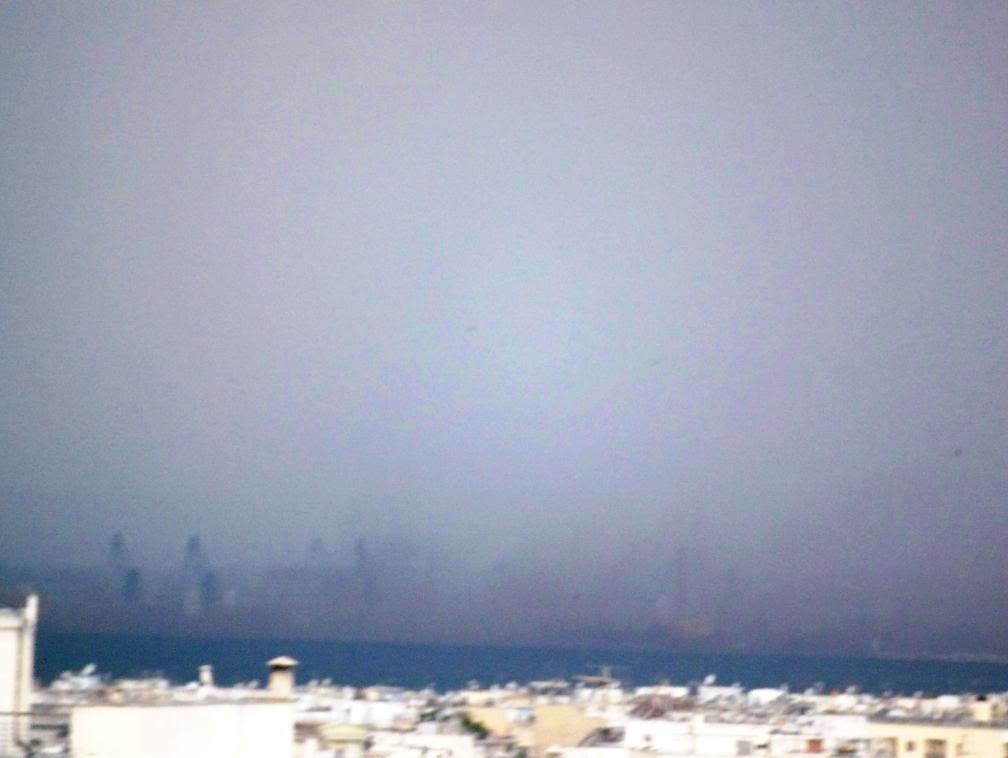
Suddenly, I noticed north of the city a brown cloud over the buildings around the harbour. Severe wind gusts were made under the shelf cloud and were going through the city.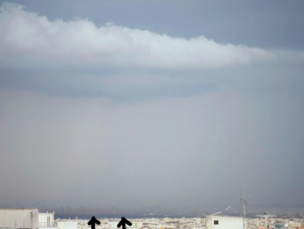
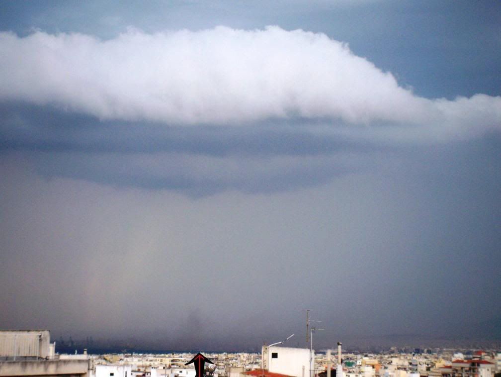
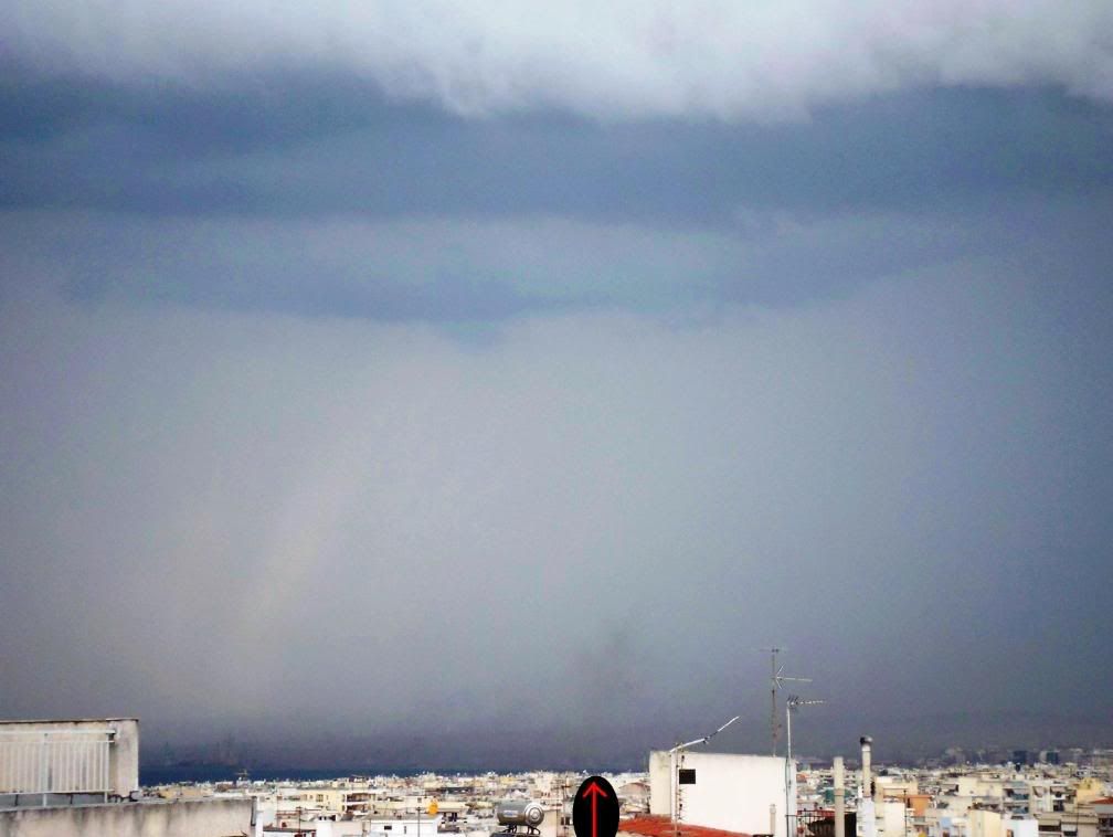
A nice time lapse of the shelf cloud getting quickly closer.


Tuesday, 29 April 2008
Thunderstorm season! (photos)
Orthodox Easter is past, May is near and the thunderstorm season has started, something that can be seen in the photos I have taken.
Let's start with a time lapse video of some Cumulus clouds North of Thessaloniki last Wednesday 23/4.
I noticed a distant thunderstorm, but there was nothing else to be happy of...
Holy Friday was an interesting day and it was raining as always every Friday before Easter! Some minutes after midnight it started raining and I was informed that lightnings were seen North of the city. Suddenly, the electricity was cut and it was dark all over the neighbourhood. Some seconds later I heard the noise a Cloud-ground lightning does. However, this thunderstorm was not for us and it moved to West, to Veria. But, strangely I heard again some rumbles and I saw some lightnings closer this time. It didn't seem to be anything worth watching, so I fell asleep at ~2:00 and don't know where the (second?) thunderstorm moved.
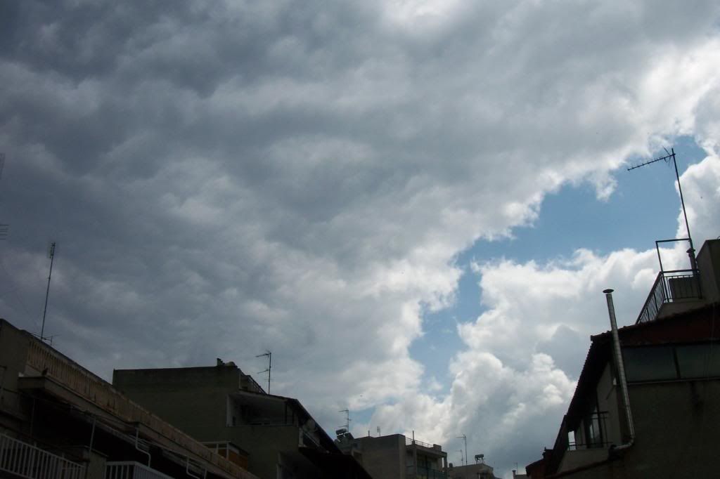
When I woke up it was raining heavily with no electrical phenomena, indeed. But, when the clouds dissappeared in the afternoon, new Cumulus congestus clouds formed immediately!
Cumulonimbus North and towering Cumulus over the mountains.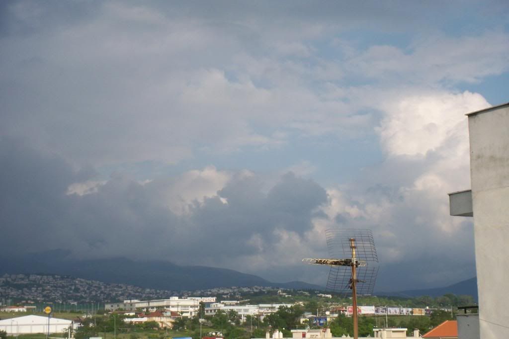
The horizon got darker quickly and...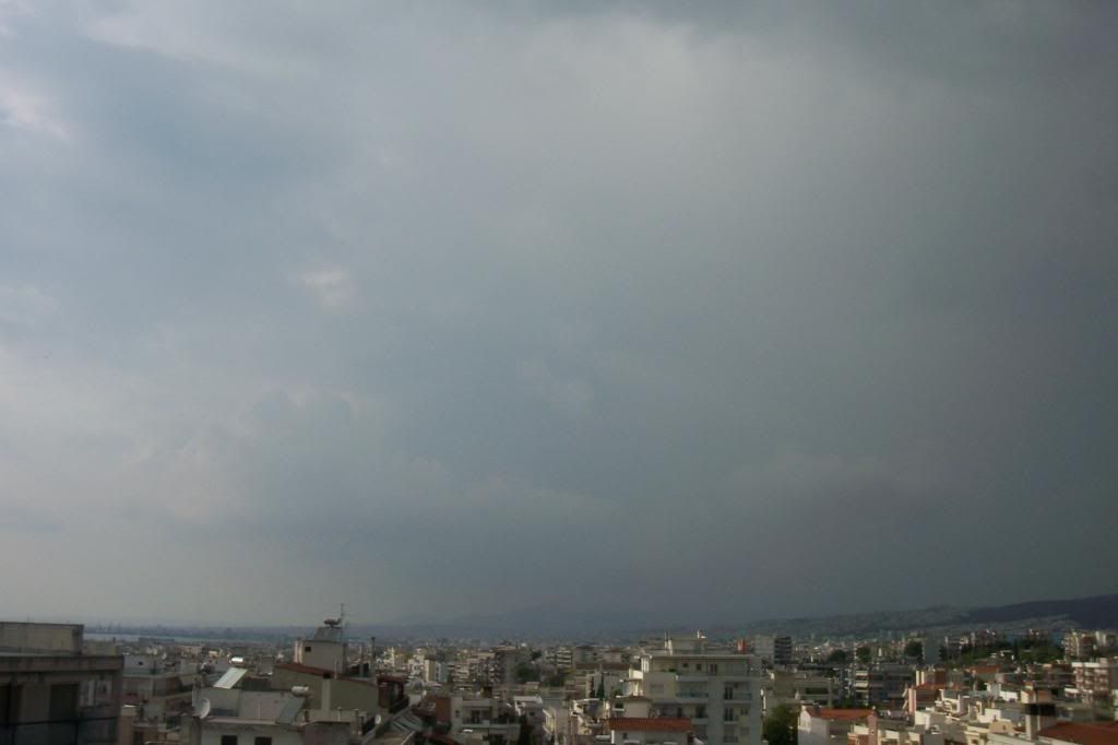
...rain curtains appeared over the mountains.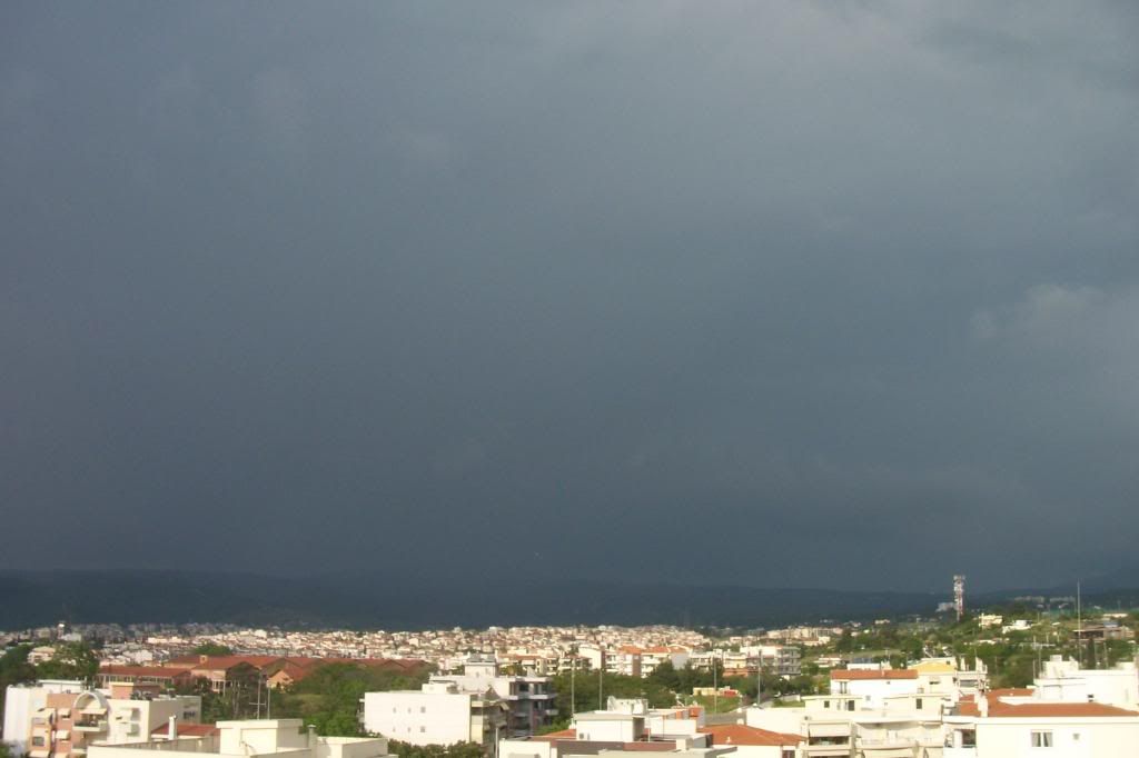
I did not see any lightning and the lightning detector on my mobile phone did not find anything, so it can not be called as a thunderstorm. Strange though, because the only thing that someone would have waited to see in there was lightnings! However, when the cloud and the rainshower passed a hidden distant Cumulonimbus revealed.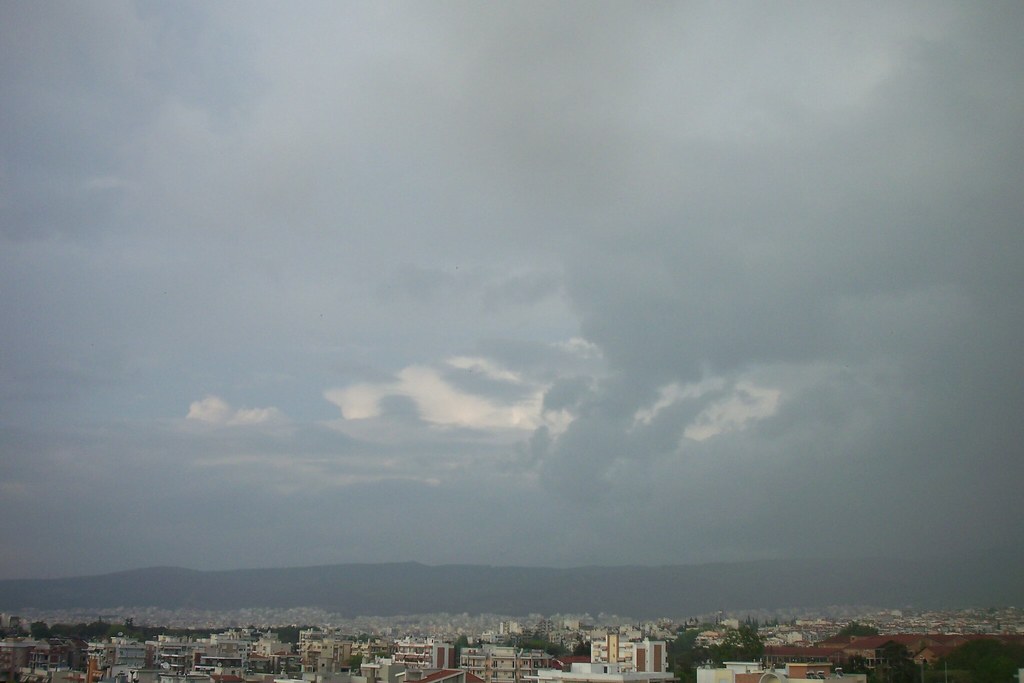
But that Cumulonimbus was unfortunately not for Thessaloniki...
And while these things were happening towards North and East some distant indifferent Cumulus were developing West of Thessaloniki.
A moment later the sky got cloudy and it looked more like winter than spring and a light wind made the atmosphere colder. However, some Cumulus continued to form over the sea (left in the photo).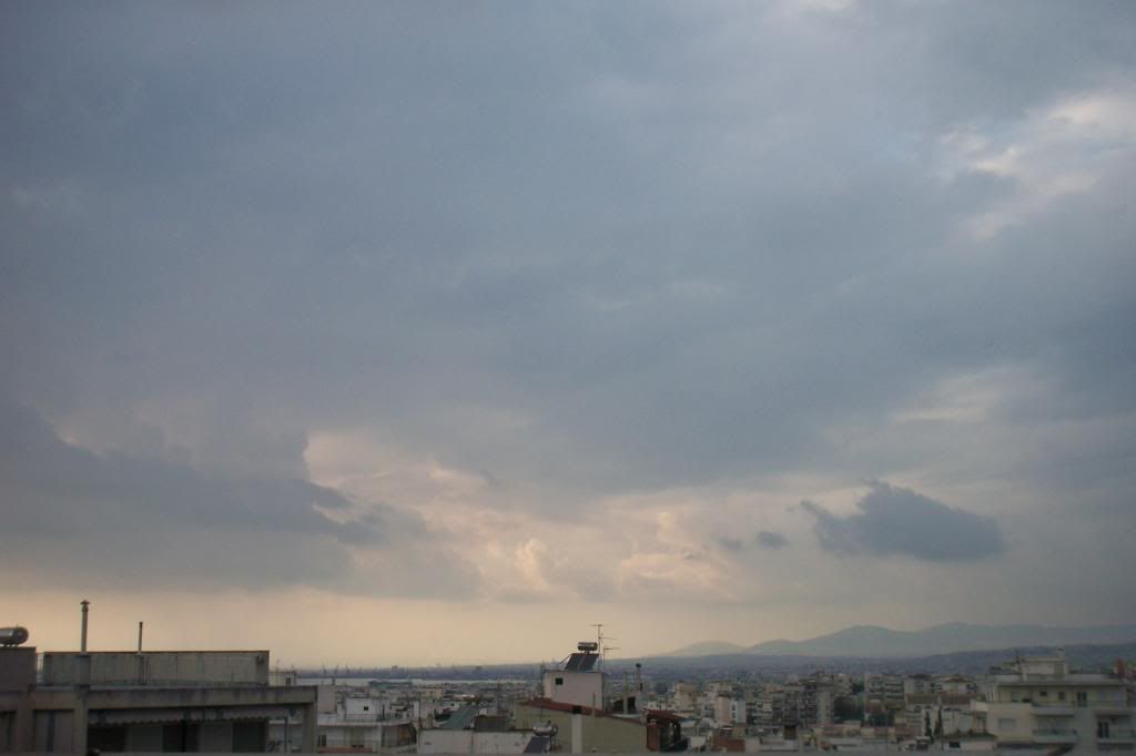
But suddenly something was approaching from the NE. It looked like wall cloud, but it was not.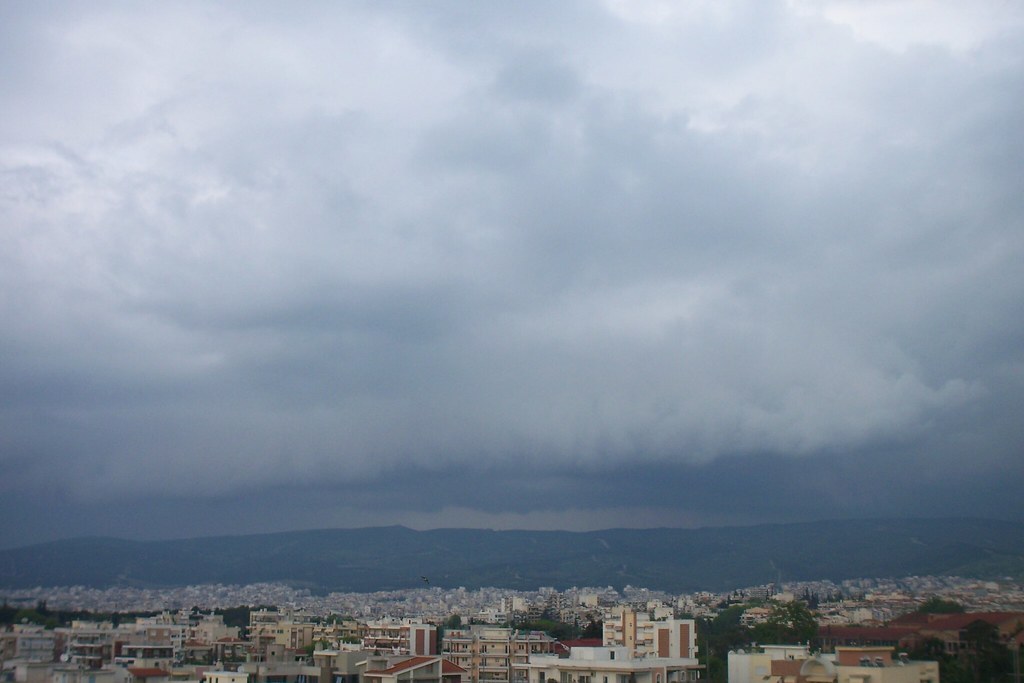
I started wondering if any thunderstorm was coming, but I did not see any thunder again. A friend of mine, who was with me, said that the previous Cb, that was hidden, was coming, but it sounded a bit strange, because that Cb was moving towards NE... However, that day no cloud was moving to a specific direction, so... perhaps he's right? I wasn't sure about what was happening...but it looked liked something was moving on! At least I was sure about this!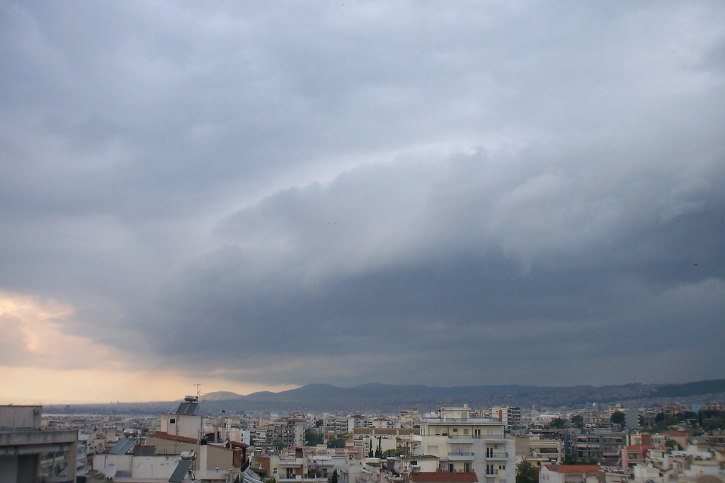
At the same time the clouds over the sea got red.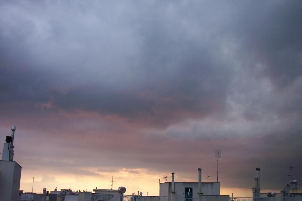
Some minutes later rain curtains were seen near the North edge of the city while the clouds were getting closer to the sea. Then a lightning appeared at last! So, we had a thunderstorm, which was also detected by the lightning detector. Actually there were two seperate thunderstorms. I noticed some distant rain curtains and some flashes at the North horizon.
You can watch the (newly created or previous-existed?) rain curtains before the lightnings appeared at the end of this time lapse I tried unsuccesfully to record...
And then at night it started raining again till the total precipitation of the day was around 18-20mm! Not bad.
Saturday was not so interesting, appart from some dark Cumulus which were responsible for drizzling in the afternoon.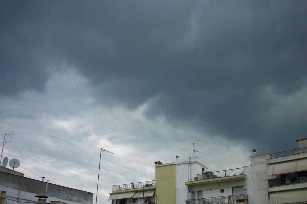
Easter's weather was like winter. The temperature had fallen to 14-16oC and it was worse with light rainfalls combined with a humid wind. The sun appeared only some minutes before the sunset.
So, Monday was back to show how the weather should be in spring! Due to high buildings in front of my house I can't see anything, but I was lucky that day because I was going to my grandparents at Diavata, where I can see the whole city! While driving to Diavata I noticed a Cumulonimbus with an ambolt South of Hortiatis mountain, but it didn't seem to have any rain curtains, although it was hard to see, because of humid atmosphere. The other Cumulus I watched were N of Thessaloniki.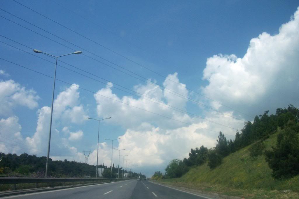
An ambolt was being formed. I think it happened earlier than normal.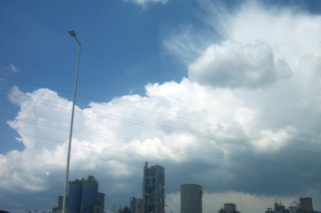
That's how the cloud looked like, when I arrived at Diavata.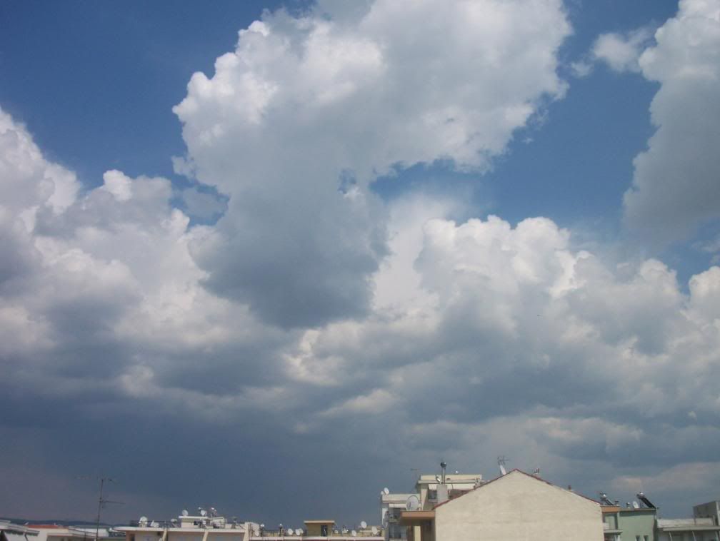
It was beautiful how the towering Cumulus met the ambolt in higher altitude.
The Cb S of Thessaloniki was still there.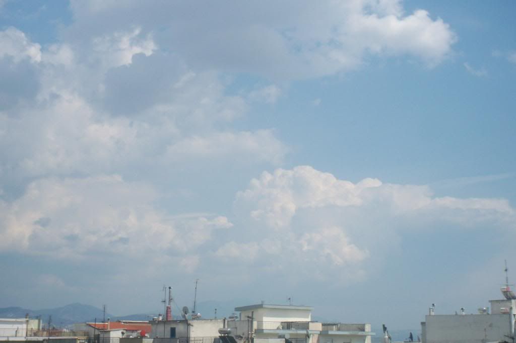
I heard the first rumble when the time was around 15:30 and the thunderstorm was moving towards Thessaloniki.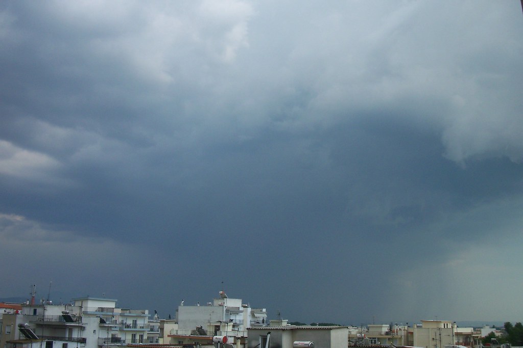
Flashes were seen constantly followed by rumbles and the horizon disappeared by the rain. At the same time a new Cu congestus was developing and was following the thunderstorm from N.
It formed an ambolt quickly, too and rain curtains appeared immediately.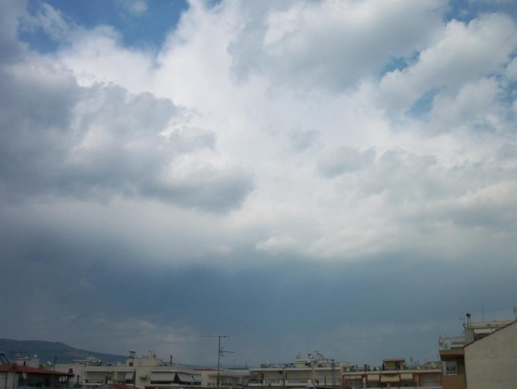
The thunderstorm was moving to South, but very slow indeed.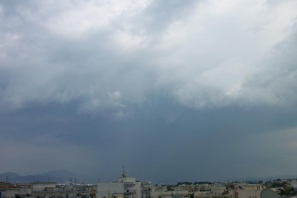
At N I saw some Virga. Perhaps an ex-Cumulonimbus.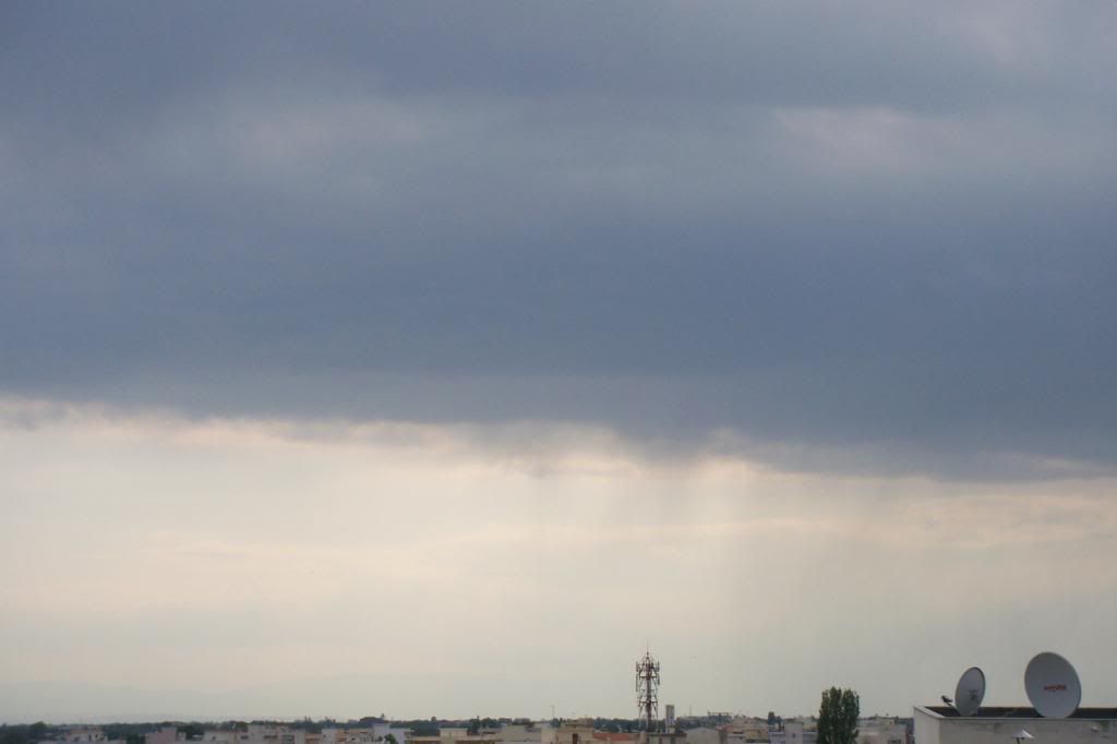
All this came to an end, when I had to leave at 17:00. The Cb was wonderful from the car and I saw a huge ambolt, that was created!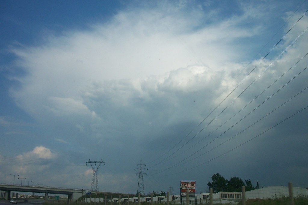
When I arrived in Kalamaria, everything was wet and I saw that the precipitation was 4-8mm depending on the location.
None of those thunderstorms was the first of the year. The first was in 15 April, midnight. The rainfall was severe with rain rate at ~98mm/h, but the lightnings were not many...
PS. Lightning detector on mobile phone I said? Check it out here! ;)
http://www.astrogenic.com/spark.html
http://www.sv2bzq.gr/hystory_weather/spark.htm
Subscribe to:
Posts (Atom)