Wednesday, 10 December 2008

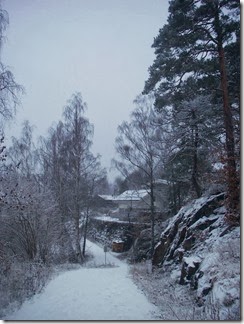
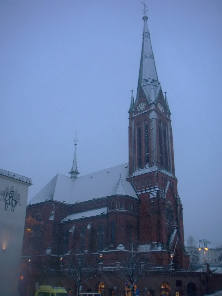
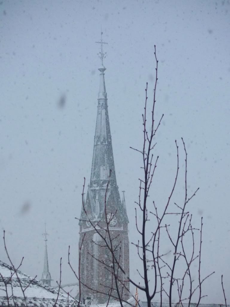
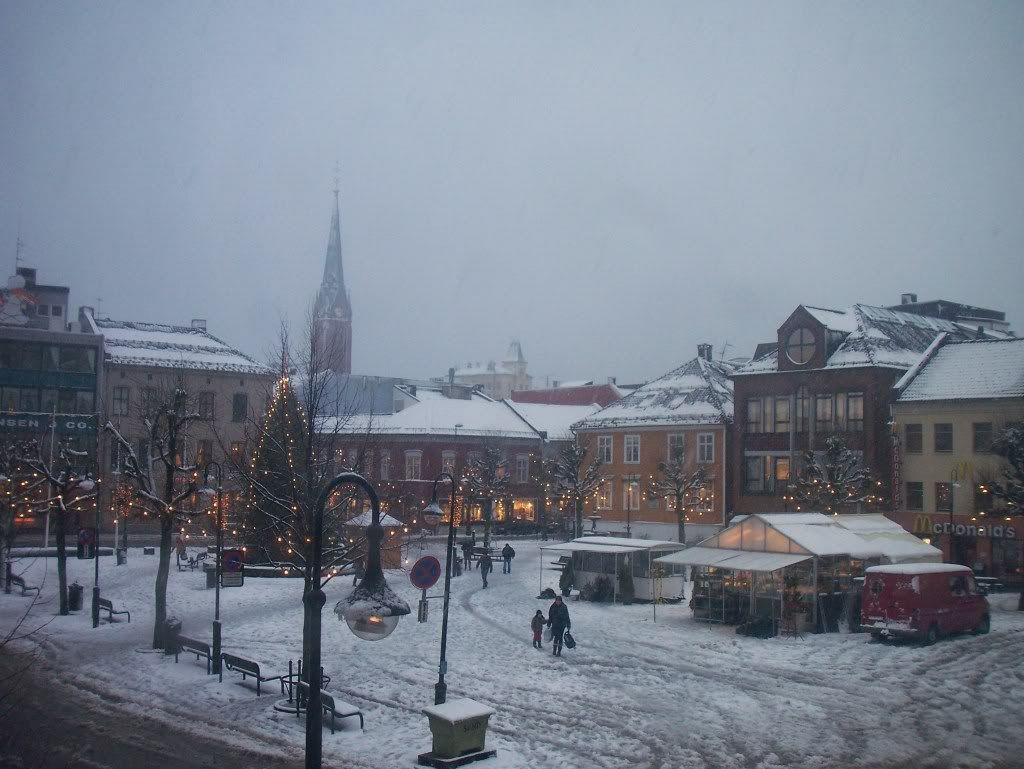
White landscapes (photos)

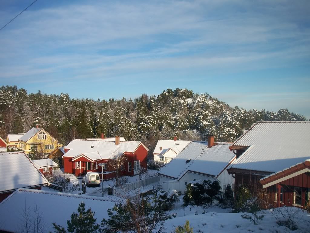
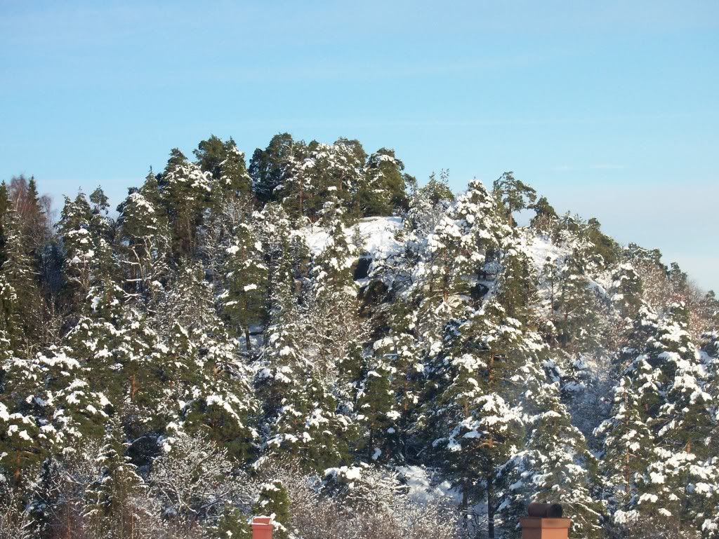
12-14cm was the snow amount in Arendal, but although the snow was laying on the ground it was slowly melting due to the temperature at +0oC. So, after the temperature has been negative the last days the melted snow has frost again making the streets really dangerous. I, personally, have slipped many times while walking and I also fell once hurting myself...! Many car accidents have also happened with injured people. A 40 year old woman lost her life in Southern Norway.

http://www.yr.no/nyheter/1.6342986

http://www.nrk.no/nyheter/distrikt/sorlandet/1.6342940

Some snow is possible in the end of the week, after Friday.

102_9445102_9452

  102_9460  102_9471  102_9495 102_9537    102_9516     102_9533

Friday, 5 December 2008

Rain became snow! (photos)

As soon as November left, December welcomed us with some snow in the morning!

102_9397 102_9401 

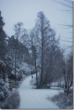
It was just a thin white layer, but it managed to make the landscape beautiful.
102_9413  102_9421 

The sun also appeared at noon, but it soon got cloudy again and it started snowing. I measured around 5cm of snow at night.

102_9434 102_9438  

The snow started to melt on Tuesday (2/12), but it didn’t disappear. So, since the temperature was below 0oC on Wednesday, the snow remained until Thursday, when some snow came again. However, it was just two snow showers. The first one came at ~17:00 and the snow was very dry, like caster sugar, although the snowflakes had a round shape. The snow of the second shower was normally wet.

However, a precipitation zone was coming towards Norway from Denmark, but it was not sure whether it was snow or rain… Meteorologists had forecasted rain in the coastline for Friday (5/12) and the snow limit would be up to 200m. I didn’t want to admit this forecast, till I suddenly saw the temperature raise just before midnight over 0oC…

I set the mobile alarm at 4:00 in the morning to check out if it would be snowing or not… When I looked out of the window I could barely see that it was raining and I was so angry, that I fell asleep again…

Now after the sad surprise I had at night, I had to look outside if the snow had disappeared… What I had seen at 9:00 surprised me happily, because I didn’t expect the rain turning to snow. The temperature had fallen something also unexpected! The temperature was at 0oC, so it was such a luck that it was not raining. And although I noticed the snow was slowly melting, snowfalls keep covering everything.

The interesting is that in Kristiansand, a town 75km from here, it seems that it’s raining instead of snowing…!

http://www.webcamsinnorway.com/webcams.php?viewcam=783
http://www.webcamsinnorway.com/webcams.php?viewcam=52 

Webcams in Arendal:

http://www.agderposten.no/apps/pbcs.dll/section?category=webcam
http://www.webcamsinnorway.com/webcams.php?viewcam=128 

I have not measured the snow amount yet, but I will let you know in the next post with photos and videos additionally.

Monday, 24 November 2008

Snow everywhere in Europe (also in Greece) except of Norway!

Another sunny day in Norway with some clouds in North... The temperature has been below 0oC everywhere in Scandinavia, so the last days' snow has not melt yet. However, it didn't snow at all in Southern Norway, so there was nothing to melt...

There is snow in most areas of Northwest and East Europe. It has snowed today (23/11) even in Greece!!! In Northern Greece the snow limit is down at ~100m and it has been snowing around the city of Thessaloniki down to 200m!

http://img261.imageshack.us/img261/9837/dsc02510gi3.jpg

http://img114.imageshack.us/img114/4357/dsc00094jm4.jpg

http://i530.photobucket.com/albums/dd344/kostas2004thes/100_1354.jpg

http://i530.photobucket.com/albums/dd344/kostas2004thes/100_1338.jpg

http://i530.photobucket.com/albums/dd344/kostas2004thes/100_1330.jpg

http://img357.imageshack.us/img357/7168/dsc02461dh6.jpg

http://i33.tinypic.com/2mwdqpg.jpg

http://i33.tinypic.com/fu3tk6.jpg

This won't last for long, though, since the temperature will return to its normal tomorrow... The same will happen in Norway. Precipitation will finally come by Wednesday... the same day when temperature will raise... So, the precipitation will unfortunately come in the form of rain and it seems that no snow will come soon...


Something also interesting is the Depression moving from the Black sea North to Finland, which has been getting deeper and has reached now even 955hPa!

Rtavn001

http://www.wetterzentrale.de/topkarten/fsavneur.html

Friday, 21 November 2008

Cold weather both in North and South Europe

After another storm in Norway called "Vera" (Trøndelag) with winds as severe as a hurricane's (gust up to 38,5m/s)...

http://www.yr.no/nyheter/1.6317683

http://www.yr.no/nyheter/1.6318784

http://www.tv2veret.no/article2413818.ece

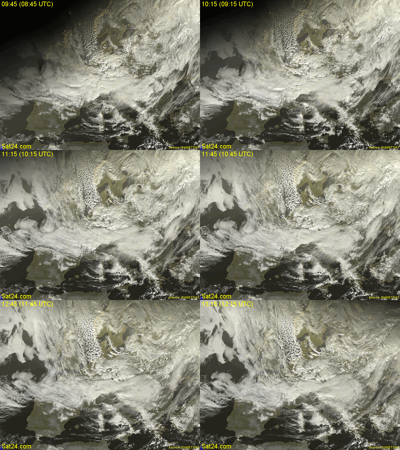
...a cold air mass from North pole is about to make Europeans freeze. This air mass is easily seen by the cloud formations and their direction to South.

http://www.sat24.com/frame.php?html=view&country=eu&sat=ir

21-11-08.gif picture by Macedonia_Greece


Notice also the Cumulonimbus clouds West of Norway. Some of those has already given snow showers to Stavanger, Kristiansund, Bergen and other towns of Western Norway today (21/11). And if you see the map of snow coverage in Norway, the Southern areas are the only without snow...

http://www.senorge.no//mappage.aspx?layerid=sd&archive=day&layergroup=snow&date=21.11.2008&XMIN=-472725.5773809523&YMIN=6438682&XMAX=1480197.5773809524&YMAX=7943687&

The whole country will have negative temperatures tomorrow (22/11) and some snow, that won't come to the region of Agder...

http://www.yr.no/nyheter/1.6318709


Greece won't have much different temperatures than Norway tomorrow! It's going to be warm and windy again in the morning, but in the evening the wind direction will turn to North and the temperature fall will begin. The snow limit will get down to 300-500m in North Greece and there is a possibility to snow along the coastlines of Northeast Greece on Saturday night. Sunday will be cold all over Greece with some phenomena, but the weather will soon get sunny and warmer again on Monday.

Athens forecast:

http://www.weatheronline.gr/cgi-app/reports?LANG=gr&MENU=213

Thessaloniki forecast:

http://www.weatheronline.gr/cgi-app/reports?LANG=gr&MENU=214

Greece forecast:

http://www.weatheronline.gr/cgi-app/reports?LANG=gr&MENU=212&FILE=grfoc

Monday, 10 November 2008

Hail and winds caused problems

A low pressure Northwest of Norway formed some Cumulonimbus rotating around it and some of those stroke the Western and Southern parts of Norway Sunday night (10/11). After a constant rainfall on Sunday, the sun suddenly appeared in the afternoon and some Cumulus and Cumulonimbus clouds could be seen.

However, those clouds were not getting closer until it started to rain at 22:30. Also one lightning made a quite loud rumble, but there must not have been many more in the area.

Next day, my grandparents told me that there was a severe hailstorm, that covered everything with hail at night, while I was unfortunately sleeping! They also said that they had heard more rumbles. I heard the same thing on the radio and I found some more info about it here:

http://www.fvn.no/varet/article625477.ece

The photos are taken in Kristiansand, a city 71km Southwest of here, so many areas must have got affected by hail.

Electricity cuts have also happened because of severe winds and thunder.

http://www.fvn.no/nyheter/article625348.ece

The wind gusts here in Arendal were once again high, up to 25-26m/s.


Storm with 22,9m/s in Eastern Norway, too.

http://www.yr.no/nyheter/1.6302767