However, two weeks ago, on 3 August, the unstable atmosphere formed some interesting clouds. From the early morning, some small Cumulonimbus clouds started coming from the mainland...
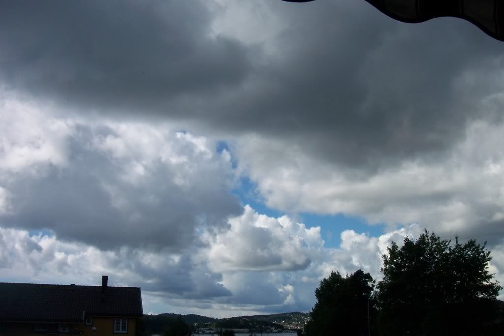
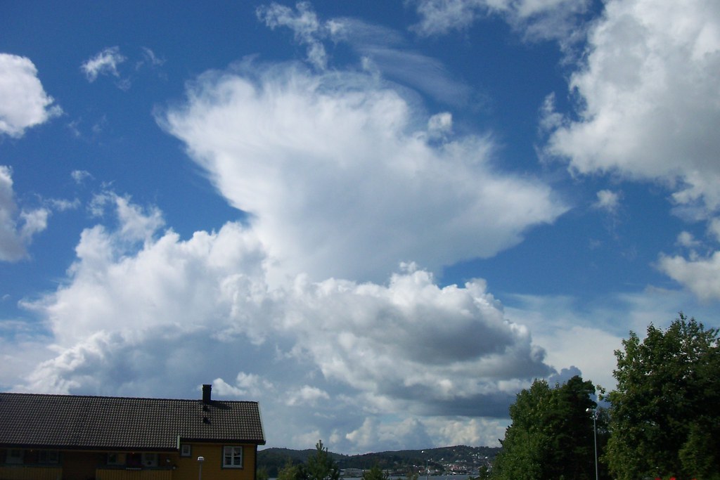
... giving some showers, but without electrical phenomena and their duration was very short, too.
The time lapse video can show exactly what happened that day.
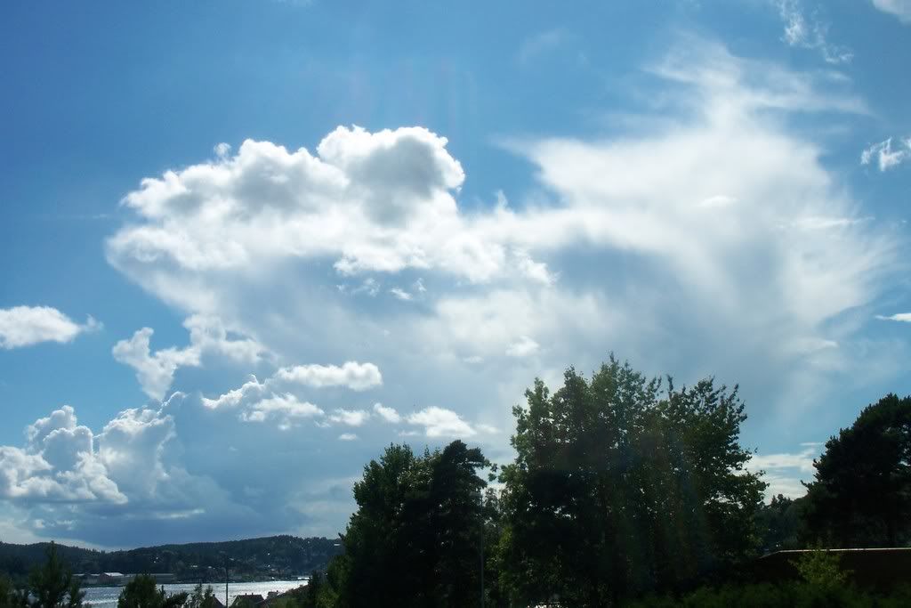
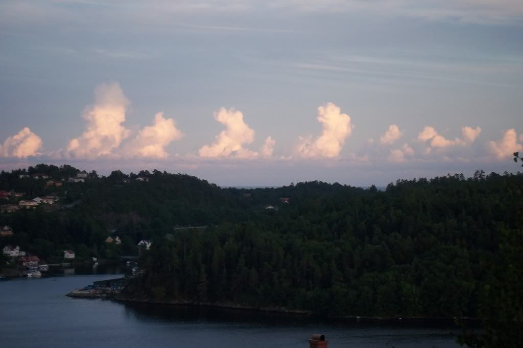
Something else interesting was that the same evening, the instability was moved over the sea, where new Cumulus clouds had started forming.
It makes me sad, that thunderstorms in Norway are not as spectacular and severe as in Greece, but the positive is that there are plenty of clouds to photograph all year long-like the nocticulent clouds I wrote about.
2 comments:
Γεια σου Χάρη! Πρόσθεσα τη διεύθυνση του ιστολογίου σου στα αγαπημένα του δικού μας blog : http://meteotwin.blogspot.com/
όπου δημοσιεύουμε τη δουλειά που κάνουμε στο πρόγραμμα περιβαλλοντικής εκπαίδευσης του σχολείου μας σχετικά με τη μετεωρολογία...
Καλή σχολική χρονιά!
Γεια σου, Ανθη!
Πολυ χαρηκα που με βρηκες!
Τα νεα μου τα μαθες υποθετω. Ειμαι Νορβηγια πλεον...
Καλη επιτυχια στη δουλεια σας! Μακαρι να χα και γω μετεωρολογια στο σχολειο...
Post a Comment