Winter is not far away and we'll get a taste of it in the end of the month. Max temperature in Southern Norway will get down to 5oC and the min under 0oC. In many areas the temperature will fall even lower, so the precipitation will appear as snow over 600m in South and probably along the coastlines in Northern Norway. However, I hope to see some snowflakes late at night, here in Arendal, too. It's a bit early to be sure, but with temperatures under 0oC at night it won't be impossible.
During cloudless nights the temperature has been down to 0oC making the ground frost and rime form.
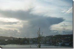
But although the weather is cold now, there are still some Cumulonimbus to see like those on Tuesday 21/10.
After a shower in the afternoon...
...some mamatus were seen in an ambolt.
Something I don't understand is why the Cumulonimbus clouds, that come here, are always about to die... Perhaps, when they come from the warm sea to the colder land, they get weakened.
The weather was sunny on Wednesday after some showers in the morning and some isolated weakened Cb clouds were crossing the sea between Norway and Denmark during sunset. 
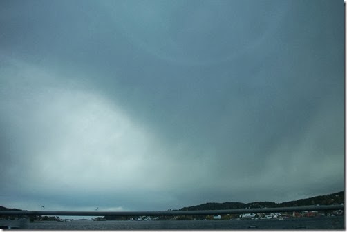
Apart from some nice, but cold days some Low pressures coming in from the Atlantic ocean have been responsible for days with rainfalls and severe winds, such as Monday 20/10 and Thursday 23/10.
In West Norway the rainfalls were extremely severe, that a lanslip was caused!


No comments:
Post a Comment